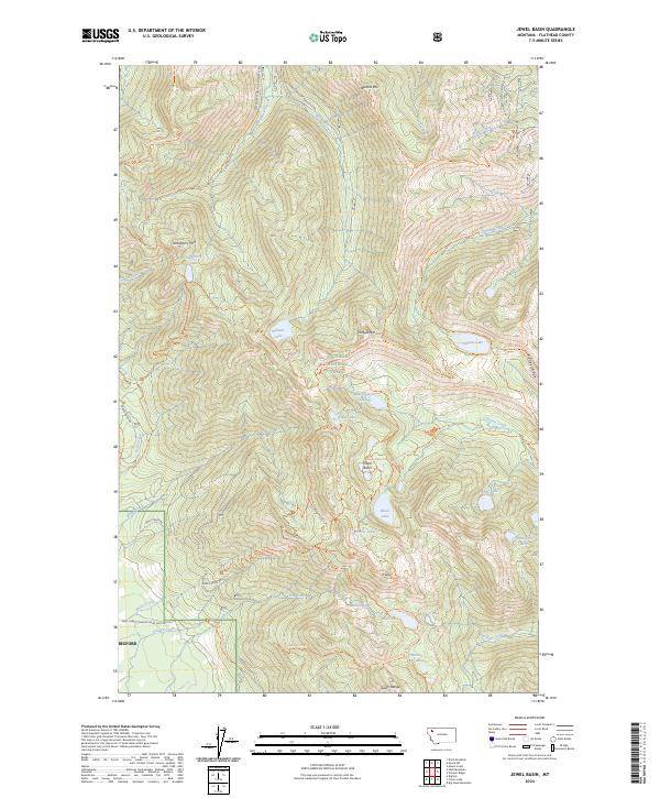
2024 Map of Jewel Basin
USGS Topo · Published 2024About this map
The Swan Range forms the backbone of this portion of the Flathead National Forest, where the complex topography of high-altitude basins and ridges defines the landscape. The area is dominated by the Jewel Basin hiking area, a place where a network of trails like the Alpine 7 Trl and Jewel Lakes Trl connect a high density of alpine water bodies. From the heights of Mt Aeneas and Tongue Mtn, the drainage systems flow into creeks such as Wounded Buck Creek and Krause Creek. The presence of numerous named lakes, including the uniquely titled In-thlam-keh Lake, Martha Lake, and Lake Seven Acres, suggests a glacial history that carved these deep cirques and hanging valleys. Near the southern edge, the settlement of Bigfork sits at the base of the mountains where Station Creek and Rocky Creek descend from the high timber.
Find a feature on this map
83 named features on this map. Tap any name to fly to it.
Don’t see what you’re looking for? This feature index may not catch every label — zoom into the map to look around manually.
Map Details
Editions of this 2024 Jewel Basin Map
This is the sole edition of this map. No revisions or reprints were ever made.
Other maps of this area

1914 · Nyack
USGS Topo · 1:125,000

1943 · Kalispell
USGS Topo · 1:125,000

1957 · Kalispell
USGS Topo · 1:250,000

1960 · Kalispell
USGS Topo · 1:250,000

1960 · Cut Bank
USGS Topo · 1:250,000

1961 · Kalispell
USGS Topo · 1:250,000

1962 · Doris Mountain
USGS Topo · 1:24,000

1962 · Hash Mountain
USGS Topo · 1:24,000
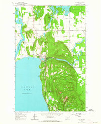
1962 · Bigfork
USGS Topo · 1:24,000

1963 · Cut Bank
USGS Topo · 1:250,000