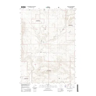
2015 Map of Jewel Cave SW
USGS Topo · Published 2015About this map
The Black Hills National Forest dominates this South Dakota landscape, characterized by a complex system of deep drainage channels and high plateaus. The topography is defined by the winding course of Hell Canyon, which converges with Red Point Canyon and Schenk Canyon in the center of the quadrangle. These steep-walled features suggest a rugged environment where water management and transportation routes were dictated by the natural limestone and sandstone breaks of the region.
Find a feature on this map
18 named features on this map. Tap any name to fly to it.
Don’t see what you’re looking for? This feature index may not catch every label — zoom into the map to look around manually.
Map Details
Editions of this 2015 Jewel Cave SW Map
This is the sole edition of this map. No revisions or reprints were ever made.
Other maps of this area

1896 · Harney Peak
USGS Topo · 1:125,000

1899 · Newcastle
USGS Topo · 1:125,000

1901 · Harney Peak
USGS Topo · 1:125,000

1901 · Newcastle
USGS Topo · 1:125,000

1902 · Edgemont
USGS Topo · 1:125,000

1950 · Burdock
USGS Topo · 1:24,000

1950 · Edgemont NE
USGS Topo · 1:24,000

1951 · Dewey
USGS Topo · 1:24,000

1951 · Twentyone Divide
USGS Topo · 1:24,000

1951 · Clifton
USGS Topo · 1:24,000