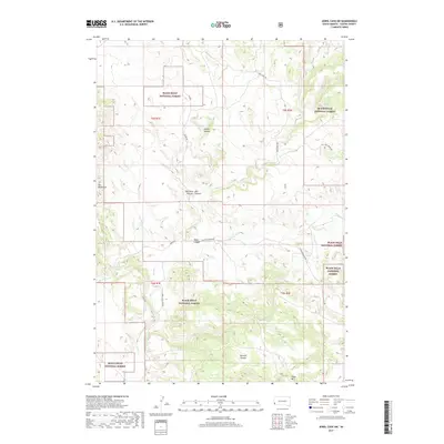
2017 Map of Jewel Cave SW
USGS Topo · Published 2017About this map
Black Hills National Forest land dominates this section of Custer County, where the high plains meet the eastern fringes of the Elk Mountains. The landscape is defined by a series of dramatic drainages, most notably the deep incision of Hell Canyon and the adjacent Red Point Canyon. These topographical features dictate the local transport network, with routes like Pass Creek Rd and Pilger Mountain Rd following the natural contours of the land. Water sources are sparse but vital in this arid environment, marked by named points such as Cedar Spring and the seasonal flow of Pass Cr. The map reveals the intricate surveying of the public land system, including the Lauzon area and several distinct canyon systems like Tepee Canyon and Schenk Canyon that carve through the limestone plateaus.
Find a feature on this map
21 named features on this map. Tap any name to fly to it.
Don’t see what you’re looking for? This feature index may not catch every label — zoom into the map to look around manually.
Map Details
Editions of this 2017 Jewel Cave SW Map
This is the sole edition of this map. No revisions or reprints were ever made.
Other maps of this area

1896 · Harney Peak
USGS Topo · 1:125,000

1899 · Newcastle
USGS Topo · 1:125,000

1901 · Harney Peak
USGS Topo · 1:125,000

1901 · Newcastle
USGS Topo · 1:125,000

1902 · Edgemont
USGS Topo · 1:125,000

1950 · Burdock
USGS Topo · 1:24,000

1950 · Edgemont NE
USGS Topo · 1:24,000

1951 · Dewey
USGS Topo · 1:24,000

1951 · Twentyone Divide
USGS Topo · 1:24,000

1951 · Clifton
USGS Topo · 1:24,000