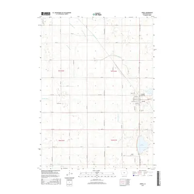
2015 Map of Jewell
USGS Topo · Published 2015About this map
Jewell Junction and Jewell stand as the primary hubs in this part of Hamilton County, where the agricultural landscape is defined by an extensive network of drainage infrastructure. Waterways such as Ditch Number 265, Grove Br Ditch, and Ditch Number 71 illustrate the concerted engineering required to manage the prairie wetlands for farming. This 2015 survey reveals a terrain punctuated by natural water bodies like Little Wall Lake and the smaller Goose Lake, which contrast with the straight-line grid of the county road system. Local landmarks like Evergreen Cem and Lund Airport provide specific points of interest for genealogists and local historians tracking the community's development. The map also records the transition from rural sections to the established street grid of the towns, showing the importance of routes like Little Wall Lake Rd and Co Hwy D56.
Find a feature on this map
54 named features on this map. Tap any name to fly to it.
Don’t see what you’re looking for? This feature index may not catch every label — zoom into the map to look around manually.
Map Details
Editions of this 2015 Jewell Map
This is the sole edition of this map. No revisions or reprints were ever made.
Other maps of this area

1912 · Ames
USGS Topo · 1:62,500

1914 · Ames
USGS Topo · 1:62,500

1916 · Boone
USGS Topo · 1:62,500

1954 · Waterloo
USGS Topo · 1:250,000

1955 · Waterloo
USGS Topo · 1:250,000

1965 · Mackey
USGS Topo · 1:24,000

1975 · Ames NW
USGS Topo · 1:24,000

1975 · Story City
USGS Topo · 1:24,000

1978 · Blairsburg
USGS Topo · 1:24,000

1978 · Ellsworth
USGS Topo · 1:24,000
Featured Places
- Jewell Junction, IA
- Jewell, Jewell Junction
- Clear Lake Township, IA
- Hamilton Township, IA
- Lyon Township, IA