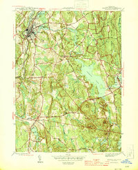
1944 Map of Jewett City
USGS Topo · Published 1944About this map
Jewett City serves as the industrial and population anchor of this mid-1940s landscape, situated at the confluence of the Pachaug River and the Hartford New Haven and New York RR. The map illustrates a region defined by its water power and early manufacturing history, with small mill settlements like Glasgo and Clayville established near their namesake ponds. Further east, the sprawling Pachaug State Forest covers the terrain of Griswold, where elevations rise toward Rixtown Mtn and Lambert Mtn.
Find a feature on this map
39 named features on this map. Tap any name to fly to it.
Don’t see what you’re looking for? This feature index may not catch every label — zoom into the map to look around manually.
Map Details
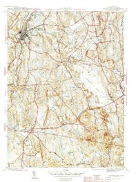
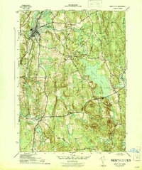
Editions of this 1944 Jewett City Map
3 editions found
Other maps of this area

1889 · Stonington
USGS Topo · 1:62,500

1889 · Moosup
USGS Topo · 1:62,500

1892 · New London
USGS Topo · 1:62,500

1892 · Norwich
USGS Topo · 1:62,500

1893 · Moosup
USGS Topo · 1:62,500

1893 · Stonington
USGS Topo · 1:62,500

1893 · New London
USGS Topo · 1:62,500

1920 · Moosup
USGS Topo · 1:62,500

1921 · New London
USGS Topo · 1:62,500

1921 · Stonington
USGS Topo · 1:62,500