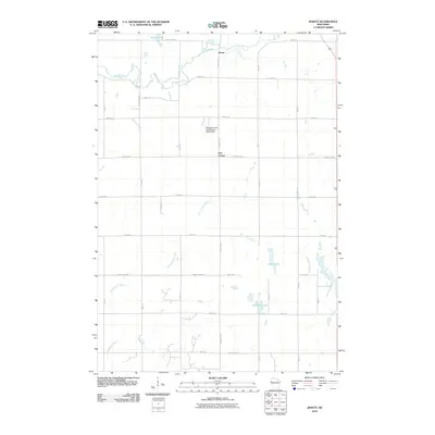
2010 Map of Jewett
USGS Topo · Published 2010About this map
Willow River and the Kinnickinnic River drainage basins define the rural landscape of Saint Croix County in this 2010 study. The settlement at Jewett serves as a northern anchor near the confluence of the South Fork Willow River, while Erin Corner marks a key crossroads to the south. This area is characterized by a high density of agricultural tracts divided by an organized grid of numbered roads like 170th Ave and 200th St. Water management is a visible priority on the land, evidenced by the Borgstrom-Erin Prairie Town G9127 Dam and several significant basins including Casey Lake and Bushnell Lake. The drainage patterns of Paperjack Creek and the intermittent Dry Run segments illustrate the hydrologic complexity of this prairie-town region.
Find a feature on this map
35 named features on this map. Tap any name to fly to it.
Don’t see what you’re looking for? This feature index may not catch every label — zoom into the map to look around manually.
Map Details
Editions of this 2010 Jewett Map
This is the sole edition of this map. No revisions or reprints were ever made.
Other maps of this area

1946 · River Falls
USGS Topo · 1:62,500

1948 · New Richmond
USGS Topo · 1:62,500

1949 · New Richmond
USGS Topo · 1:62,500

1949 · River Falls
USGS Topo · 1:62,500

1949 · Baldwin
USGS Topo · 1:62,500

1950 · Deer Park
USGS Topo · 1:62,500

1953 · Saint Paul
USGS Topo · 1:250,000

1953 · Stillwater
USGS Topo · 1:250,000

1955 · Stillwater
USGS Topo · 1:250,000

1958 · Stillwater
USGS Topo · 1:250,000