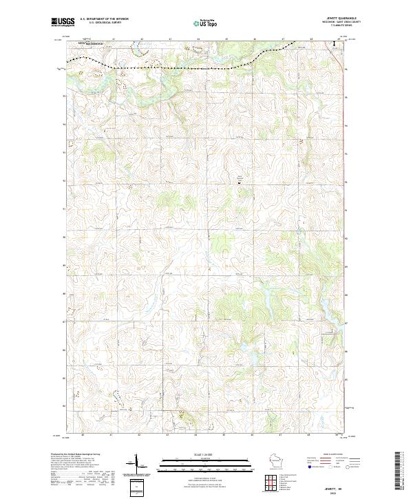
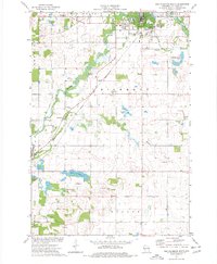
2022 Map of Jewett
USGS Topo · Published 2022About this map
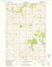
The Jewett settlement area in St. Croix County is defined by a dense network of glacial water bodies and stream headwaters. This survey documents the winding course of the Kinnickinnic River as it moves south through the central township, alongside several notable small basins including Casey Lake and Bushnell Lake. The landscape is largely structured by a rigid grid of county roads and avenues, which cut across the varied terrain of the Willow River and Paperjack Cr drainages.
Find a feature on this map
38 named features on this map. Tap any name to fly to it.
Don’t see what you’re looking for? This feature index may not catch every label — zoom into the map to look around manually.
Map Details
Editions of this 2022 Jewett Map
This is the sole edition of this map. No revisions or reprints were ever made.
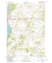
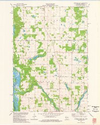
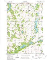
Historical Maps of Erin Prairie Through Time
20 maps found
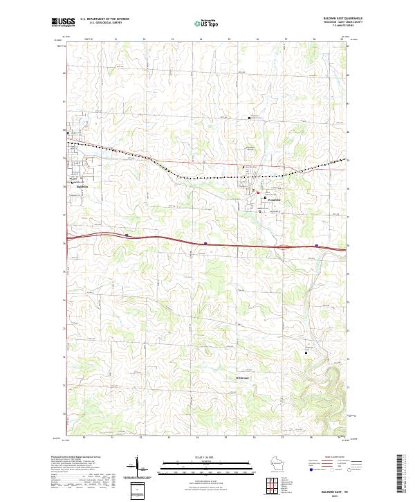
1974 Baldwin East
St. Croix County, WI
1974 Baldwin West
St. Croix County, WI
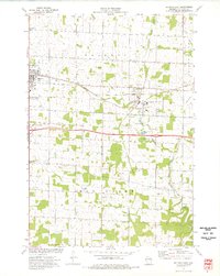
1974 New Richmond North
St. Croix County, WI
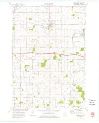
1974 New Richmond South
St. Croix County, WI
1974 Northline
St. Croix County, WI
1974 Somerset North
St. Croix County, WI
1974 Somerset South
St. Croix County, WI
1975 Forest
St. Croix County, WI
1975 Graytown
St. Croix County, WI
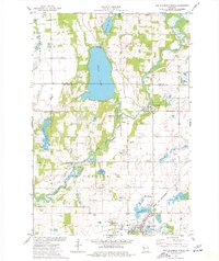
1975 Jewett
St. Croix County, WI
2022 Baldwin East
St. Croix County, WI
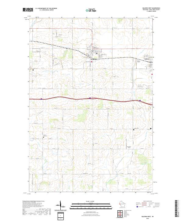
2022 Baldwin West
St. Croix County, WI
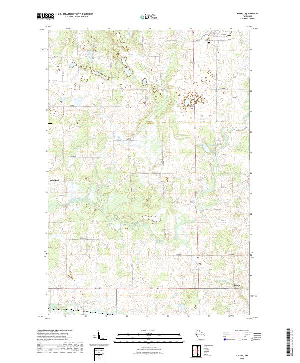
2022 Forest
St. Croix County, WI
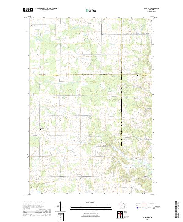
2022 Graytown
St. Croix County, WI
2022 Jewett
St. Croix County, WI
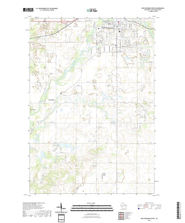
2022 New Richmond South
St. Croix County, WI
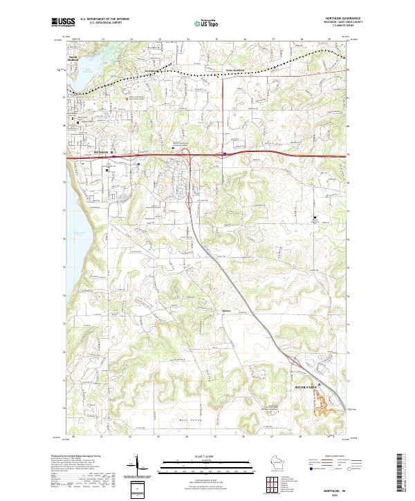
2022 Northline
St. Croix County, WI
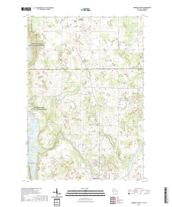
2022 Somerset North
St. Croix County, WI
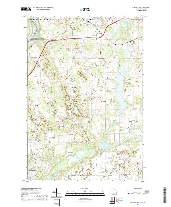
2022 Somerset South
St. Croix County, WI
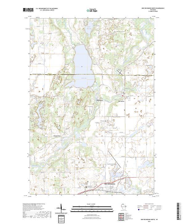
2023 New Richmond North
St. Croix County, WI