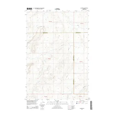
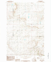
2014 Map of Jim Creek
USGS Topo · Published 2014About this map
The convergence of Wheatland, Sweet Grass, and Golden Valley counties defines this central Montana landscape, where drainage patterns dictate the movement of both water and travelers. A network of rural arteries, including Red Bridge Rd and Tony Creek Rd, follows the natural contours of the terrain as they navigate the ridges and coulees between local drainages. The map reveals a land structured by its watercourses, from Fish Cr in the north to the eponymous Jim Cr and Antelope Cr further south.
Find a feature on this map
25 named features on this map. Tap any name to fly to it.
Don’t see what you’re looking for? This feature index may not catch every label — zoom into the map to look around manually.
Map Details
Editions of this 2014 Jim Creek Map
This is the sole edition of this map. No revisions or reprints were ever made.
Other maps of this area

1889 · Big Snowy Mountain
USGS Topo · 1:250,000

1893 · Big Snowy Mountain
USGS Topo · 1:250,000

1954 · Roundup
USGS Topo · 1:250,000

1958 · Roundup
USGS Topo · 1:250,000
1985 · Upper Glaston Lake
USGS Topo · 1:24,000

1985 · Jim Creek
USGS Topo · 1:24,000
1985 · Gougley Creek
USGS Topo · 1:24,000

1985 · Progress
USGS Topo · 1:24,000
1985 · Gibson SW
USGS Topo · 1:24,000
1985 · Gibson
USGS Topo · 1:24,000