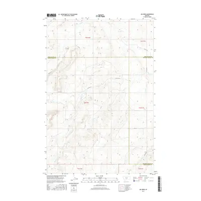
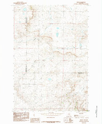
2017 Map of Jim Creek
USGS Topo · Published 2017About this map
Jim Creek and its many tributaries, including Antelope Cr and Potato Cr, carve a complex drainage system across this Montana landscape. The terrain is marked by the convergence of Wheatland, Sweet Grass, and Golden Valley counties, a junction that highlights the remote, rural character of the region. Transportation is limited to a sparse network of unpaved routes such as Tony Creek Rd and Red Bridge Rd, which follow the natural contours of the drainages. The map reveals a land defined by hydrography and elevation rather than dense settlement, with Fish Cr and Spring Cr providing vital water sources in the northern sections. This 2017 survey by the U.S. Geological Survey details the intricate topography of the Big Snowy Mountains foothills, where land use is dictated by the rugged flow of seasonal creeks and the high-plains geography.
Find a feature on this map
22 named features on this map. Tap any name to fly to it.
Don’t see what you’re looking for? This feature index may not catch every label — zoom into the map to look around manually.
Map Details
Editions of this 2017 Jim Creek Map
This is the sole edition of this map. No revisions or reprints were ever made.
Other maps of this area

1889 · Big Snowy Mountain
USGS Topo · 1:250,000

1893 · Big Snowy Mountain
USGS Topo · 1:250,000

1954 · Roundup
USGS Topo · 1:250,000

1958 · Roundup
USGS Topo · 1:250,000
1985 · Upper Glaston Lake
USGS Topo · 1:24,000

1985 · Jim Creek
USGS Topo · 1:24,000
1985 · Gougley Creek
USGS Topo · 1:24,000

1985 · Progress
USGS Topo · 1:24,000
1985 · Gibson SW
USGS Topo · 1:24,000
1985 · Gibson
USGS Topo · 1:24,000