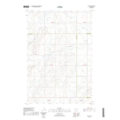
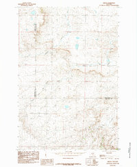
2020 Map of Jim Creek
USGS Topo · Published 2020About this map
The high plains of Central Montana meet at a triple point of county lines in this modern topographic study. Wheatland, Sweet Grass, and Golden Valley counties converge across a landscape defined by an intricate network of seasonal drainage and ranch access routes. Waterways like Fish Creek and Tony Creek carve deep into the terrain, while Jim Creek flows through the southern reaches. The map documents a sparsely populated ranching environment where infrastructure is limited to gravel routes such as Tony Creek Road and Red Skin Road. This survey provides a precise accounting of the hydrological system, including smaller tributaries like Potato Creek and Andrews Creek, which are critical for understanding the local topography and historical land use in this section of the Big Sky state.
Find a feature on this map
23 named features on this map. Tap any name to fly to it.
Don’t see what you’re looking for? This feature index may not catch every label — zoom into the map to look around manually.
Map Details
Editions of this 2020 Jim Creek Map
This is the sole edition of this map. No revisions or reprints were ever made.
Other maps of this area

1889 · Big Snowy Mountain
USGS Topo · 1:250,000

1893 · Big Snowy Mountain
USGS Topo · 1:250,000

1954 · Roundup
USGS Topo · 1:250,000

1958 · Roundup
USGS Topo · 1:250,000
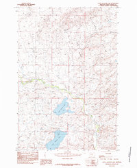
1985 · Upper Glaston Lake
USGS Topo · 1:24,000

1985 · Jim Creek
USGS Topo · 1:24,000
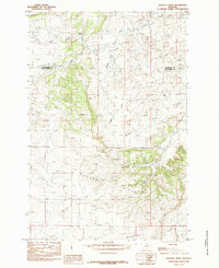
1985 · Gougley Creek
USGS Topo · 1:24,000

1985 · Progress
USGS Topo · 1:24,000
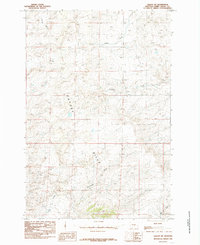
1985 · Gibson SW
USGS Topo · 1:24,000
1985 · Gibson
USGS Topo · 1:24,000