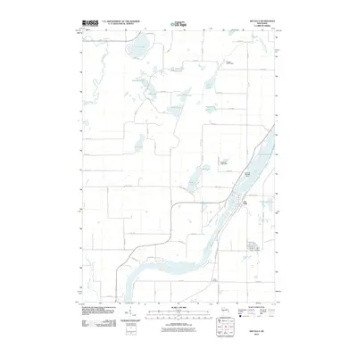
2010 Map of Jim Falls
USGS Topo · Published 2010About this map
The Chippewa River carves through the landscape near the settlement of Jim Falls, where industrial and natural water management systems are prominently displayed. This 2010 survey details the sophisticated network of dams regulating local waters, including the Jim Falls 2WP426 Dam, Kalepp G4711 Dam, and Bowe Wi-2-361 Dam. These structures manage the flow between numerous named water bodies such as Old Abe Lake, Jim Lake, and Mud Lake, illustrating the heavy modification of the river's path for power and recreation.
Find a feature on this map
44 named features on this map. Tap any name to fly to it.
Don’t see what you’re looking for? This feature index may not catch every label — zoom into the map to look around manually.
Map Details
Editions of this 2010 Jim Falls Map
This is the sole edition of this map. No revisions or reprints were ever made.
Other maps of this area

1934 · Chippewa Falls
USGS Topo · 1:62,500

1936 · Chippewa Falls
USGS Topo · 1:62,500

1949 · Bloomer
USGS Topo · 1:62,500

1951 · Bloomer
USGS Topo · 1:62,500

1951 · Cornell
USGS Topo · 1:62,500

1952 · Cadott
USGS Topo · 1:62,500

1953 · Eau Claire
USGS Topo · 1:250,000

1953 · Rice Lake
USGS Topo · 1:250,000

1958 · Eau Claire
USGS Topo · 1:250,000

1959 · Rice Lake
USGS Topo · 1:250,000