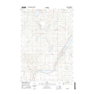
2015 Map of Jim Falls
USGS Topo · Published 2015About this map
The Chippewa River anchors this landscape, flowing through the heart of the region and forming the elongated Old Abe Lake. The settlement of Jim Falls sits at a strategic point along the eastern bank of the river, where the water is channeled and managed. The surrounding terrain is densely pocketed with small glacial lakes, including Cornell Lake, Popple Lake, and Jim Lake, which define the local drainage patterns and provide a distinct character to the rural township sections.
Find a feature on this map
61 named features on this map. Tap any name to fly to it.
Don’t see what you’re looking for? This feature index may not catch every label — zoom into the map to look around manually.
Map Details
Editions of this 2015 Jim Falls Map
This is the sole edition of this map. No revisions or reprints were ever made.
Other maps of this area
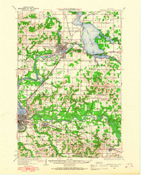
1934 · Chippewa Falls
USGS Topo · 1:62,500
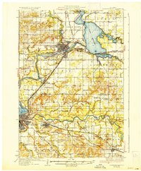
1936 · Chippewa Falls
USGS Topo · 1:62,500
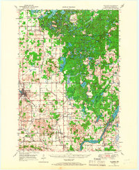
1949 · Bloomer
USGS Topo · 1:62,500
1951 · Bloomer
USGS Topo · 1:62,500
1951 · Cornell
USGS Topo · 1:62,500
1952 · Cadott
USGS Topo · 1:62,500

1953 · Eau Claire
USGS Topo · 1:250,000

1953 · Rice Lake
USGS Topo · 1:250,000

1958 · Eau Claire
USGS Topo · 1:250,000

1959 · Rice Lake
USGS Topo · 1:250,000