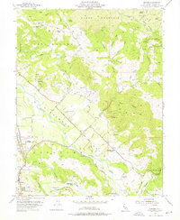
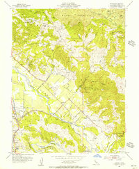
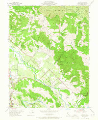
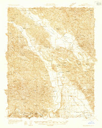
1955 Map of Jimtown
USGS Topo · Published 1976About this map
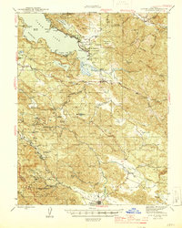
The Alexander Valley floor and the surrounding high ground of Black Mountain define this mid-century survey of Sonoma County. Along the banks of the Russian River, the landscape is a mix of agricultural enterprise and indigenous heritage, marked by the Lytton Rancheria, Dry Creek Rancheria, and Alexander Valley Rancheria. The settlement at Jimtown serves as a local hub, while the Northwestern Pacific railroad tracks flank the western edge of the valley near Lytton.
Find a feature on this map
60 named features on this map. Tap any name to fly to it.
Don’t see what you’re looking for? This feature index may not catch every label — zoom into the map to look around manually.
Map Details
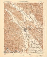
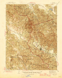
Editions of this 1955 Jimtown Map
4 editions found

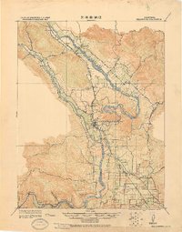
Other maps of this area
1920 · Healdsburg
USGS Topo · 1:62,500

1921 · Kelseyville
USGS Topo · 1:62,500

1927 · Calistoga
USGS Topo · 1:62,500
1933 · Healdsburg
USGS Topo · 1:48,000
1940 · Healdsburg
USGS Topo · 1:62,500

1943 · Calistoga
USGS Topo · 1:62,500
1943 · Kelseyville
USGS Topo · 1:62,500
1945 · Calistoga
USGS Topo · 1:62,500
1945 · Lower Lake
USGS Topo · 1:62,500

1947 · Santa Rosa
USGS Topo · 1:250,000