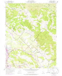
1955 Map of Jimtown
USGS Topo · Published 1978About this map
Russian River bottomlands and the steep slopes of Black Mountain dominate this mid-century survey of Sonoma County. The settlement of Jimtown serves as a local crossroads where Alexander Valley Road meets the Russian River corridor. This area showcases a diverse rural economy, from the valley floor ranching at Digger Bend Ranch and Montvale Farm to the upland resource extraction at the Merlooma Quicksilver Mine and Manganese Mine.
Find a feature on this map
56 named features on this map. Tap any name to fly to it.
Don’t see what you’re looking for? This feature index may not catch every label — zoom into the map to look around manually.
Map Details
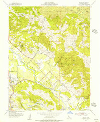
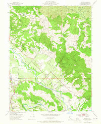
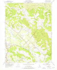
Editions of this 1955 Jimtown Map
4 editions found
Other maps of this area

1920 · Healdsburg
USGS Topo · 1:62,500

1921 · Kelseyville
USGS Topo · 1:62,500

1927 · Calistoga
USGS Topo · 1:62,500

1933 · Healdsburg
USGS Topo · 1:48,000

1940 · Healdsburg
USGS Topo · 1:62,500

1943 · Calistoga
USGS Topo · 1:62,500

1943 · Kelseyville
USGS Topo · 1:62,500

1945 · Calistoga
USGS Topo · 1:62,500

1945 · Lower Lake
USGS Topo · 1:62,500

1947 · Santa Rosa
USGS Topo · 1:250,000