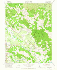
1955 Map of Jimtown
USGS Topo · Published 1965About this map
Alexander Valley agriculture and the winding path of the Russian River define this mid-century portrait of northern Sonoma County. The valley floor is a patchwork of ranching and viticulture, evidenced by the Winery near the foot of Black Mountain and various family-operated sites like Ridge Ranch and Douglas Ranch. Early settlement patterns are preserved in the naming of the Beeson Cemetery and local institutions such as the Alexander Valley School and Allan Sch.
Find a feature on this map
52 named features on this map. Tap any name to fly to it.
Don’t see what you’re looking for? This feature index may not catch every label — zoom into the map to look around manually.
Map Details
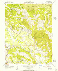
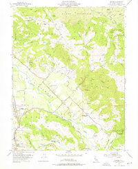
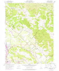
Editions of this 1955 Jimtown Map
4 editions found
Other maps of this area

1920 · Healdsburg
USGS Topo · 1:62,500

1921 · Kelseyville
USGS Topo · 1:62,500

1927 · Calistoga
USGS Topo · 1:62,500

1933 · Healdsburg
USGS Topo · 1:48,000

1940 · Healdsburg
USGS Topo · 1:62,500

1943 · Calistoga
USGS Topo · 1:62,500

1943 · Kelseyville
USGS Topo · 1:62,500

1945 · Calistoga
USGS Topo · 1:62,500

1945 · Lower Lake
USGS Topo · 1:62,500

1947 · Santa Rosa
USGS Topo · 1:250,000