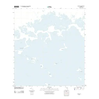
2012 Map of Joe Bay
USGS Topo · Published 2012About this map
Florida Bay defines the southern extent of this coastal reach, where a complex network of keys and passes meets the mangrove-lined estuaries of the mainland. The landscape is dominated by the sprawling waters of Joe Bay and Alligator Bay, which transition into narrower channels like Trout Creek and Davis Cr. This 2012 survey illustrates a wilderness of interconnected basins and hammocks, including the curiously named Fan Palm Hammock on the western edge of the sheet.
Find a feature on this map
20 named features on this map. Tap any name to fly to it.
Don’t see what you’re looking for? This feature index may not catch every label — zoom into the map to look around manually.
Map Details
Editions of this 2012 Joe Bay Map
This is the sole edition of this map. No revisions or reprints were ever made.
Other maps of this area

1947 · Rock Harbor
USGS Topo · 1:24,000

1947 · Blackwater Sound
USGS Topo · 1:24,000

1949 · Blackwater Sound
USGS Topo · 1:24,000

1949 · Rock Harbor
USGS Topo · 1:24,000

1950 · Glades
USGS Topo · 1:24,000

1956 · Glades
USGS Topo · 1:24,000

1956 · Royal Palm Ranger Station SE
USGS Topo · 1:24,000

1956 · Miami
USGS Topo · 1:250,000

1958 · Miami
USGS Topo · 1:250,000

1967 · Royal Palm Ranger Station SE
USGS Topo · 1:24,000