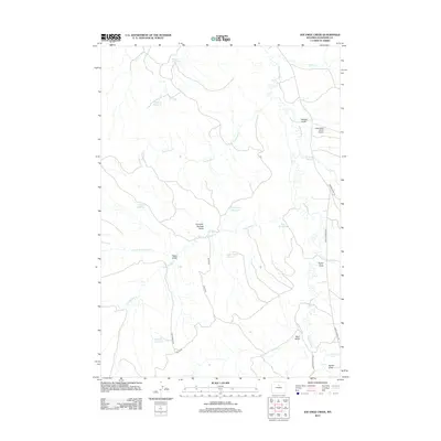
2012 Map of Joe Emge Creek
USGS Topo · Published 2012About this map
The Nowood River corridor in Washakie County anchors a landscape defined by an extensive network of water management and ranching infrastructure. This survey captures a terrain carved by numerous drainages, including Joe Emge Cr, Bud Kimball Cr, and Spring Cr, which feed into the main river valley. A sophisticated system of reservoirs, such as Warner Reservoir, Flagstone Reservoir, and Last Hope Reservoir, demonstrates the critical role of water storage in this high-plains environment.
Find a feature on this map
26 named features on this map. Tap any name to fly to it.
Don’t see what you’re looking for? This feature index may not catch every label — zoom into the map to look around manually.
Map Details
Editions of this 2012 Joe Emge Creek Map
This is the sole edition of this map. No revisions or reprints were ever made.
Other maps of this area

1899 · Cloud peak
USGS Topo · 1:125,000

1901 · Cloud Peak
USGS Topo · 1:125,000

1955 · Sheridan
USGS Topo · 1:250,000

1955 · Arminto
USGS Topo · 1:250,000

1958 · Sheridan
USGS Topo · 1:250,000

1958 · Arminto
USGS Topo · 1:250,000

1962 · Sheridan
USGS Topo · 1:250,000

1962 · Arminto
USGS Topo · 1:250,000

1966 · Big Trails
USGS Topo · 1:24,000

1966 · Big Trails NE
USGS Topo · 1:24,000