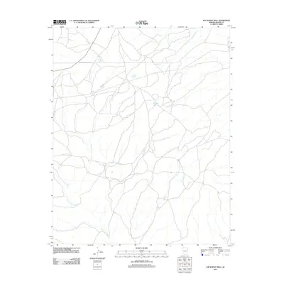
2011 Map of Joe Woody Well
USGS Topo · Published 2011About this map
Joe Woody Well serves as a key landmark in this high-desert region of Apache County, where water resources are essential to the character of the land. The landscape is defined by the ephemeral drainage of Cienega Creek and the presence of Hidden Lake, which contrast with the industrial footprint of the Transwestern Pipeline Corp corridor cutting through the northern section. This 2011 survey captures the area within the Fort Defiance Agency, showing a network of rural roads and tracks that navigate the terrain near the headwaters of the West Fork Black Creek. The sparse distribution of named points highlights the significance of individual water sources and industrial infrastructure in this part of Arizona.
Find a feature on this map
5 named features on this map. Tap any name to fly to it.
Don’t see what you’re looking for? This feature index may not catch every label — zoom into the map to look around manually.
Map Details
Editions of this 2011 Joe Woody Well Map
This is the sole edition of this map. No revisions or reprints were ever made.
Other maps of this area

1886 · Fort Defiance
USGS Topo · 1:250,000

1892 · Fort Defiance
USGS Topo · 1:250,000

1954 · Gallup
USGS Topo · 1:250,000

1955 · Zith-Tusayan Butte 4 NW
USGS Topo · 1:24,000

1955 · Zith-Tusayan Butte 3 NE
USGS Topo · 1:24,000

1955 · Zith-Tusayan Butte 4 NE
USGS Topo · 1:24,000

1958 · Gallup
USGS Topo · 1:250,000

1959 · Gallup
USGS Topo · 1:250,000

1962 · Gallup
USGS Topo · 1:250,000

1967 · Gallup
USGS Topo · 1:250,000