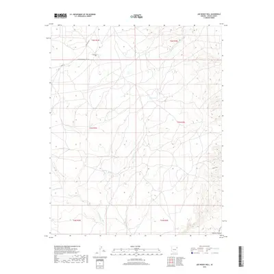
2018 Map of Joe Woody Well
USGS Topo · Published 2018About this map
Joe Woody Well sits atop the high terrain of the Defiance Plateau in this northeastern Arizona survey. The landscape is defined by the ephemeral drainages of Cienega Cr and the W Fork Black Cr, which carve through the high-elevation country of the Fort Defiance Agency. A network of service roads and remote routes, including Summit Rd and Indian Rte 2010, provides the primary access across these expansive tribal lands. The presence of the Transwestern Pipeline Co Rd suggests the modern industrial utility of this area, while Hidden Lake marks one of the few named interior water features. This documentation provides a clear look at the infrastructure of the plateau, from the northern boundary of t26n r29e down toward the southern intersection with Indian Rte 12.
Find a feature on this map
16 named features on this map. Tap any name to fly to it.
Don’t see what you’re looking for? This feature index may not catch every label — zoom into the map to look around manually.
Map Details
Editions of this 2018 Joe Woody Well Map
This is the sole edition of this map. No revisions or reprints were ever made.
Other maps of this area

1886 · Fort Defiance
USGS Topo · 1:250,000

1892 · Fort Defiance
USGS Topo · 1:250,000

1954 · Gallup
USGS Topo · 1:250,000

1955 · Zith-Tusayan Butte 4 NW
USGS Topo · 1:24,000

1955 · Zith-Tusayan Butte 3 NE
USGS Topo · 1:24,000

1955 · Zith-Tusayan Butte 4 NE
USGS Topo · 1:24,000

1958 · Gallup
USGS Topo · 1:250,000

1959 · Gallup
USGS Topo · 1:250,000

1962 · Gallup
USGS Topo · 1:250,000

1967 · Gallup
USGS Topo · 1:250,000