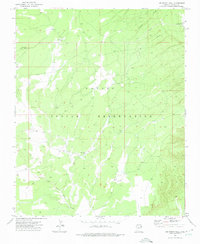
1971 Map of Joe Woody Well
USGS Topo · Published 1975About this map
The Navajo Indian Reservation landscape within the Chuska Mountains area is defined by a network of essential water sources and utility infrastructure as it stood in the early 1970s. Key water points such as Joe Woody Well and Washington Well highlight the critical role of groundwater management in this high-elevation plateau environment. The northern portion of the map is crossed by a major Pipeline and features the Cienega Creek drainage, while the southern reaches are shaped by the West Fork Black Creek.
Find a feature on this map
9 named features on this map. Tap any name to fly to it.
Don’t see what you’re looking for? This feature index may not catch every label — zoom into the map to look around manually.
Map Details
Editions of this 1971 Joe Woody Well Map
This is the sole edition of this map. No revisions or reprints were ever made.
Other maps of this area

1886 · Fort Defiance
USGS Topo · 1:250,000

1892 · Fort Defiance
USGS Topo · 1:250,000

1954 · Gallup
USGS Topo · 1:250,000

1955 · Zith-Tusayan Butte 4 NW
USGS Topo · 1:24,000

1955 · Zith-Tusayan Butte 3 NE
USGS Topo · 1:24,000

1955 · Zith-Tusayan Butte 4 NE
USGS Topo · 1:24,000

1958 · Gallup
USGS Topo · 1:250,000

1959 · Gallup
USGS Topo · 1:250,000

1962 · Gallup
USGS Topo · 1:250,000

1967 · Gallup
USGS Topo · 1:250,000