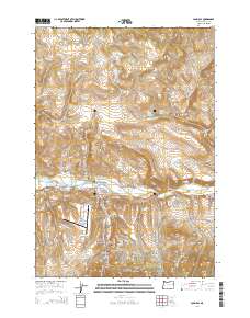
2014 Map of John Day
USGS Topo · Published 2014About this map
John Day and Canyon City anchor the lower half of this 2014 survey, where the river valley gives way to the high plateaus of Eastern Oregon. The map documents the intricate water management of the region through features like Luce Ditch, Trowbridge Ditch, and the San Juan Log Ponds, reflecting the importance of both irrigation and the timber industry to the local economy. On the outskirts of John Day, the Grant County Regional Airport and the surrounding Industrial Park indicate modern commercial growth, while several historic burial grounds like Boot Hill Cem and Saint Andrews Cem preserve the lineage of the early canyon settlements.
Find a feature on this map
93 named features on this map. Tap any name to fly to it.
Don’t see what you’re looking for? This feature index may not catch every label — zoom into the map to look around manually.
Map Details
Editions of this 2014 John Day Map
This is the sole edition of this map. No revisions or reprints were ever made.
Other maps of this area

1940 · Mount Vernon
USGS Topo · 1:62,500

1940 · John Day
USGS Topo · 1:62,500

1943 · John Day
USGS Topo · 1:62,500

1943 · Mount Vernon
USGS Topo · 1:62,500

1949 · Long Creek
USGS Topo · 1:62,500

1949 · Susanville
USGS Topo · 1:62,500

1951 · Susanville
USGS Topo · 1:62,500

1951 · Long Creek
USGS Topo · 1:62,500

1955 · Canyon City
USGS Topo · 1:250,000

1959 · Canyon City
USGS Topo · 1:250,000