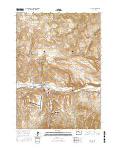
2017 Map of John Day
USGS Topo · Published 2017About this map
Canyon City and John Day anchor this portion of the high desert, where the John Day River valley meets the steep timbered slopes of the southern Grant County mountains. The landscape is defined by the legacy of resource management and aviation, featuring the Grant County-Regional Airport and industrial water infrastructure like the San Juan Log Ponds, Luce Ditch, and the Trowbridge Ditch. Settlement patterns here follow the water, with neighborhoods clustered along Canyon Cr and the riverbanks.
Find a feature on this map
78 named features on this map. Tap any name to fly to it.
Don’t see what you’re looking for? This feature index may not catch every label — zoom into the map to look around manually.
Map Details
Editions of this 2017 John Day Map
This is the sole edition of this map. No revisions or reprints were ever made.
Other maps of this area

1940 · Mount Vernon
USGS Topo · 1:62,500

1940 · John Day
USGS Topo · 1:62,500

1943 · John Day
USGS Topo · 1:62,500

1943 · Mount Vernon
USGS Topo · 1:62,500

1949 · Long Creek
USGS Topo · 1:62,500

1949 · Susanville
USGS Topo · 1:62,500

1951 · Susanville
USGS Topo · 1:62,500

1951 · Long Creek
USGS Topo · 1:62,500

1955 · Canyon City
USGS Topo · 1:250,000

1959 · Canyon City
USGS Topo · 1:250,000