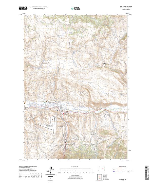
2023 Map of John Day
USGS Topo · Published 2023About this map
John Day and Canyon City sit at the northern edge of the Strawberry Range, where the steep mountain slopes meet the valley floor of the John Day River. This modern survey details the local topography and civic landmarks, including the Grant County Courthouse and the nearby Grant County Regional Airport/Ogilvie-field. Historically significant sites for genealogists include several burial grounds, most notably the Boot Hill Cem and Canyon City Cem, reflecting the area's gold-mining heritage and early settlement. The map reveals how water management shapes the landscape through features like the Trowbridge Ditch and the Canyon City Reservoir. Settlement is clustered along the river corridor and narrow gulches like Whiskey Gulch and Town Gulch, with the Aldrich Mountains rising to the south, marked by numerous named springs such as Davis Creek Springs and Gleason Spring.
Find a feature on this map
90 named features on this map. Tap any name to fly to it.
Don’t see what you’re looking for? This feature index may not catch every label — zoom into the map to look around manually.
Map Details
Editions of this 2023 John Day Map
This is the sole edition of this map. No revisions or reprints were ever made.
Other maps of this area

1940 · Mount Vernon
USGS Topo · 1:62,500

1940 · John Day
USGS Topo · 1:62,500

1943 · John Day
USGS Topo · 1:62,500

1943 · Mount Vernon
USGS Topo · 1:62,500

1949 · Long Creek
USGS Topo · 1:62,500

1949 · Susanville
USGS Topo · 1:62,500

1951 · Susanville
USGS Topo · 1:62,500

1951 · Long Creek
USGS Topo · 1:62,500

1955 · Canyon City
USGS Topo · 1:250,000

1959 · Canyon City
USGS Topo · 1:250,000