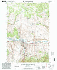
1998 Map of John Day
USGS Topo · Published 2000About this map
Canyon City and the neighboring city of John Day serve as the focal points of this late 20th-century survey of the John Day River valley. The map documents a landscape defined by its mining heritage and public land administration, with extensive Dredge Tailings still visible along the riverbanks. The settlement patterns reflect both modern development, such as the Mobile Home Park, and deep-rooted local history found at the Canyon City Cem and the legendary Boot Hill Cem.
Find a feature on this map
58 named features on this map. Tap any name to fly to it.
Don’t see what you’re looking for? This feature index may not catch every label — zoom into the map to look around manually.
Map Details
Editions of this 1998 John Day Map
This is the sole edition of this map. No revisions or reprints were ever made.
Other maps of this area

1940 · Mount Vernon
USGS Topo · 1:62,500

1940 · John Day
USGS Topo · 1:62,500

1943 · John Day
USGS Topo · 1:62,500

1943 · Mount Vernon
USGS Topo · 1:62,500

1949 · Long Creek
USGS Topo · 1:62,500

1949 · Susanville
USGS Topo · 1:62,500

1951 · Susanville
USGS Topo · 1:62,500

1951 · Long Creek
USGS Topo · 1:62,500

1955 · Canyon City
USGS Topo · 1:250,000

1959 · Canyon City
USGS Topo · 1:250,000