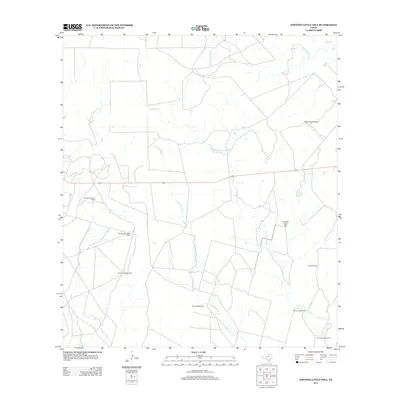
2013 Map of Johnnie Little Hill
USGS Topo · Published 2013About this map
The sparse ranchlands of Frio County are defined by a network of intermittent waterways and essential water infrastructure in this 2013 survey. Drainages such as Yoledigo Cr and the colorfully named Fight and Holler Cr carve through the dry landscape, converging toward the southeast. The area's dependence on groundwater for cattle and agriculture is evident in the numerous named landmarks scattered across the quadrangle, including Windmill Number Seven, Windmill Number Eight, and the Three Leg Windmill.
Find a feature on this map
14 named features on this map. Tap any name to fly to it.
Don’t see what you’re looking for? This feature index may not catch every label — zoom into the map to look around manually.
Map Details
Editions of this 2013 Johnnie Little Hill Map
This is the sole edition of this map. No revisions or reprints were ever made.
Other maps of this area

1898 · Uvalde
USGS Topo · 1:125,000

1899 · Uvalde
USGS Topo · 1:125,000

1928 · Frio Town
USGS Topo · 1:62,500

1942 · Divot
USGS Topo · 1:62,500

1953 · Crystal City
USGS Topo · 1:250,000

1954 · San Antonio
USGS Topo · 1:250,000

1955 · Crystal City
USGS Topo · 1:250,000

1956 · Divot
USGS Topo · 1:62,500

1957 · San Antonio
USGS Topo · 1:250,000

1957 · Batesville
USGS Topo · 1:62,500