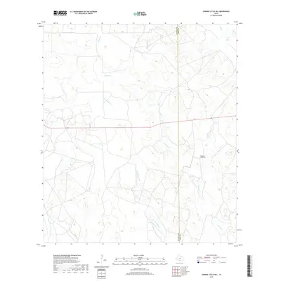
2019 Map of Johnnie Little Hill
USGS Topo · Published 2019About this map
Johnnie Little Hill rises as the central topographic feature in this corner of the South Texas brush country, situated where the border of Zavala Co and Frio Co meets. The landscape is defined by a dense network of intermittent drainage systems, notably the winding path of Yoledigo Cr and its tributary Little Yoledigo Cr. These seasonal waterways suggest a ranching environment dependent on the erratic hydrology of the region. The map also captures several distinct drainages including Eightland Holler Cr to the north and Liveoak Cr in the southwest. A single major thoroughfare, Route 57, cuts east-to-west across the terrain, providing the primary access point through this sparsely developed area of Texas, which remains dominated by natural landmarks rather than dense settlement.
Find a feature on this map
8 named features on this map. Tap any name to fly to it.
Don’t see what you’re looking for? This feature index may not catch every label — zoom into the map to look around manually.
Map Details
Editions of this 2019 Johnnie Little Hill Map
This is the sole edition of this map. No revisions or reprints were ever made.
Other maps of this area

1898 · Uvalde
USGS Topo · 1:125,000

1899 · Uvalde
USGS Topo · 1:125,000

1928 · Frio Town
USGS Topo · 1:62,500

1942 · Divot
USGS Topo · 1:62,500

1953 · Crystal City
USGS Topo · 1:250,000

1954 · San Antonio
USGS Topo · 1:250,000

1955 · Crystal City
USGS Topo · 1:250,000

1956 · Divot
USGS Topo · 1:62,500

1957 · San Antonio
USGS Topo · 1:250,000

1957 · Batesville
USGS Topo · 1:62,500