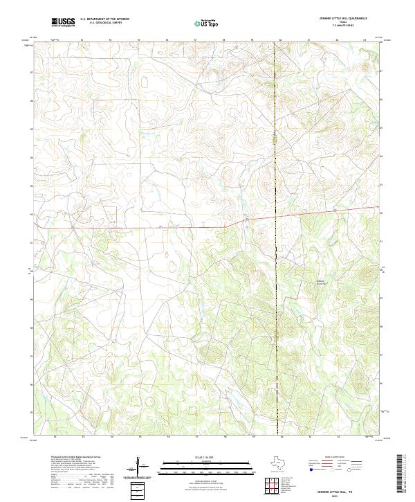
2022 Map of Johnnie Little Hill
USGS Topo · Published 2022About this map
Johnnie Little Hill rises as a prominent landmark in this brush country landscape, marking the transition between the watershed of Elm Cr and the complex drainage of Yoledigo Cr. The terrain is defined by a network of seasonal watercourses including the colorfully named Fight and Holler Cr, which winds through the northern reaches of the quadrangle. This 2022 survey illustrates the remote character of the South Texas plains, where the Zavala Co Frio Co boundary line cuts through a sparsely settled expanse of ranch land. Modern infrastructure is limited to a single primary road corridor crossing the center of the sheet, while secondary tracks follow the winding paths of Little Yoledigo Cr and Liveoak Cr, revealing a rural landscape shaped by hydrology and cattle ranching traditions.
Find a feature on this map
7 named features on this map. Tap any name to fly to it.
Don’t see what you’re looking for? This feature index may not catch every label — zoom into the map to look around manually.
Map Details
Editions of this 2022 Johnnie Little Hill Map
This is the sole edition of this map. No revisions or reprints were ever made.
Other maps of this area

1898 · Uvalde
USGS Topo · 1:125,000

1899 · Uvalde
USGS Topo · 1:125,000

1928 · Frio Town
USGS Topo · 1:62,500

1942 · Divot
USGS Topo · 1:62,500

1953 · Crystal City
USGS Topo · 1:250,000

1954 · San Antonio
USGS Topo · 1:250,000

1955 · Crystal City
USGS Topo · 1:250,000

1956 · Divot
USGS Topo · 1:62,500

1957 · San Antonio
USGS Topo · 1:250,000

1957 · Batesville
USGS Topo · 1:62,500