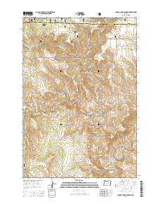
2014 Map of Johnny Cake Mountain
USGS Topo · Published 2014About this map
The high plateau and canyon country of the Blue Mountains define this portion of the Umatilla National Forest along the border of Morrow and Grant counties. Named topographic features such as Johnny Cake Mountain, Neal Butte, and Mahogany Flat rise above a complex system of drainage basins. The landscape is deeply dissected by numerous creeks, including Little Wall Cr and Big Wall Cr, which carve through places like Boneyard Canyon and Mulligan Stew Canyon before reaching the North Fork John Day River.
Find a feature on this map
44 named features on this map. Tap any name to fly to it.
Don’t see what you’re looking for? This feature index may not catch every label — zoom into the map to look around manually.
Map Details
Editions of this 2014 Johnny Cake Mountain Map
This is the sole edition of this map. No revisions or reprints were ever made.
Other maps of this area

1951 · Monument
USGS Topo · 1:62,500

1953 · Kimberly
USGS Topo · 1:62,500

1953 · Pendleton
USGS Topo · 1:250,000

1955 · Canyon City
USGS Topo · 1:250,000

1956 · Pendleton
USGS Topo · 1:250,000

1959 · Canyon City
USGS Topo · 1:250,000

1969 · Lake Penland
USGS Topo · 1:24,000

1969 · Madison Butte
USGS Topo · 1:24,000

1969 · Big Rock Flat
USGS Topo · 1:24,000

1980 · Monument
USGS Topo · 1:100,000