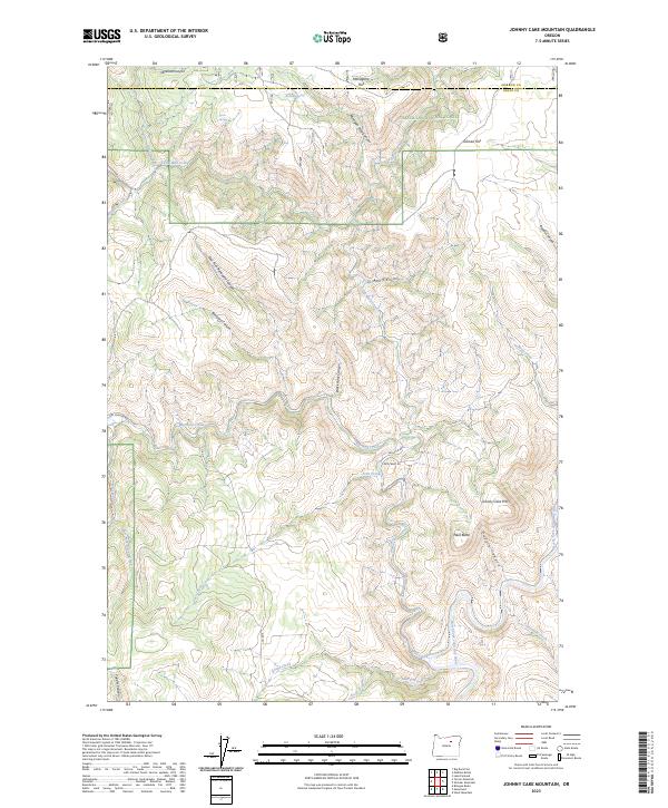
2023 Map of Johnny Cake Mountain
USGS Topo · Published 2023About this map
Umatilla National Forest encompasses the high country of this Grant and Morrow County borderland, where the terrain is carved by a complex network of canyons and creeks. The hydrology of the region is defined by the North Fork John Day River, which winds through the southern portion of the quadrangle. High points like Johnny Cake Mtn and Neal Butte overlook deep drainage systems such as Coyote Canyon and Mulligan Stew Canyon. Named flats, including Mahogany Flat and Gilman Flat, suggest areas of relatively level ground amidst the steep draws. The map identifies critical water sources in this arid landscape, such as Buckhorn Spring and Tonto Spring, which historically supported movement through these uplands. Forest roads like Nat For Dev Rd 22 and Wall Cr Rd provide the primary access to these remote canyons and timberlands.
Find a feature on this map
41 named features on this map. Tap any name to fly to it.
Don’t see what you’re looking for? This feature index may not catch every label — zoom into the map to look around manually.
Map Details
Editions of this 2023 Johnny Cake Mountain Map
This is the sole edition of this map. No revisions or reprints were ever made.
Other maps of this area

1951 · Monument
USGS Topo · 1:62,500

1953 · Kimberly
USGS Topo · 1:62,500

1953 · Pendleton
USGS Topo · 1:250,000

1955 · Canyon City
USGS Topo · 1:250,000

1956 · Pendleton
USGS Topo · 1:250,000

1959 · Canyon City
USGS Topo · 1:250,000

1969 · Lake Penland
USGS Topo · 1:24,000

1969 · Madison Butte
USGS Topo · 1:24,000

1969 · Big Rock Flat
USGS Topo · 1:24,000

1980 · Monument
USGS Topo · 1:100,000