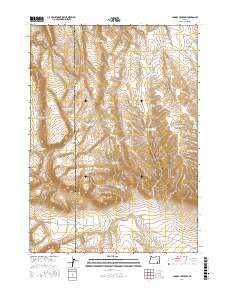
2017 Map of Johnny Creek SW
USGS Topo · Published 2017About this map
The Harney Co Malheur Co line bisects this high-desert landscape in southeastern Oregon, where water management is the primary marker of human intervention. The terrain is dominated by the broad uplift of Table Mtn and the northern reaches of the Sheepshead Mountains, deeply incised by Mickey Canyon. Throughout these volcanic uplands, a series of small-scale impoundments like E Table Mountain Reservoir, Wildcat Reservoir, and Steel Post Reservoir reveal the critical importance of seasonal water storage for rangeland utility.
Find a feature on this map
28 named features on this map. Tap any name to fly to it.
Don’t see what you’re looking for? This feature index may not catch every label — zoom into the map to look around manually.
Map Details
Editions of this 2017 Johnny Creek SW Map
This is the sole edition of this map. No revisions or reprints were ever made.
Other maps of this area

1955 · Adel
USGS Topo · 1:250,000

1957 · Adel
USGS Topo · 1:250,000

1958 · Adel
USGS Topo · 1:250,000

1962 · Adel
USGS Topo · 1:250,000
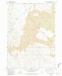
1980 · Johnny Creek Spring
USGS Topo · 1:24,000
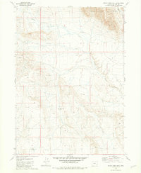
1981 · Grassy Ridge Well
USGS Topo · 1:24,000
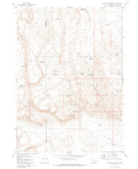
1981 · Johnny Creek SW
USGS Topo · 1:24,000
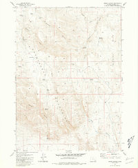
1981 · Groan Canyon
USGS Topo · 1:24,000

1981 · Ancient Lake Well
USGS Topo · 1:24,000
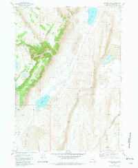
1981 · Juniper Lake
USGS Topo · 1:24,000