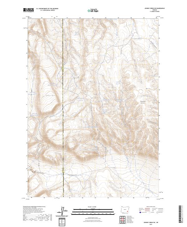
2023 Map of Johnny Creek SW
USGS Topo · Published 2023About this map
The Harney Co and Malheur Co line bisects this high-elevation landscape, where cattle grazing and water management define the human footprint. Dominating the topography is Table Mtn, a prominent landform surrounded by a network of catchments including North Table Mountain Reservoir and East Table Mountain Reservoir. These reservoirs, along with Steel Post Reservoir and Bobcat Reservoir, reflect a landscape engineered for ranching and livestock in the arid eastern Oregon desert.
Find a feature on this map
28 named features on this map. Tap any name to fly to it.
Don’t see what you’re looking for? This feature index may not catch every label — zoom into the map to look around manually.
Map Details
Editions of this 2023 Johnny Creek SW Map
This is the sole edition of this map. No revisions or reprints were ever made.
Other maps of this area

1955 · Adel
USGS Topo · 1:250,000

1957 · Adel
USGS Topo · 1:250,000

1958 · Adel
USGS Topo · 1:250,000

1962 · Adel
USGS Topo · 1:250,000
1980 · Johnny Creek Spring
USGS Topo · 1:24,000
1981 · Grassy Ridge Well
USGS Topo · 1:24,000
1981 · Johnny Creek SW
USGS Topo · 1:24,000
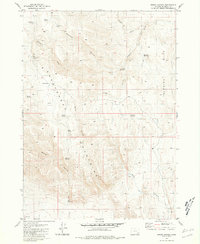
1981 · Groan Canyon
USGS Topo · 1:24,000

1981 · Ancient Lake Well
USGS Topo · 1:24,000
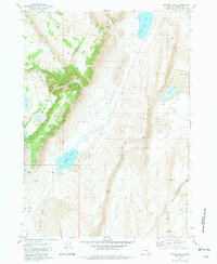
1981 · Juniper Lake
USGS Topo · 1:24,000