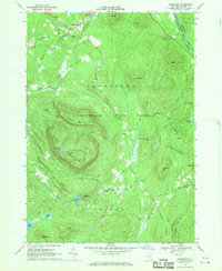
1968 Map of Johnsburg
USGS Topo · Published 1970About this map
Johnsburg and Thurman serve as the primary hubs in this section of the southeastern Adirondacks, where the Hudson River cuts through the northeast corner. This 1960s landscape is defined by its verticality, dominated by the massif of Crane Mountain and the high ridges of Huckleberry Mountain and Pine Ridge. The network of water bodies, including Garnet Lake, Snowshoe Pond, and Crane Mountain Pond, feeds into drainage systems like Mill Creek and Glen Creek.
Find a feature on this map
43 named features on this map. Tap any name to fly to it.
Don’t see what you’re looking for? This feature index may not catch every label — zoom into the map to look around manually.
Map Details
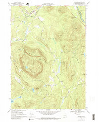
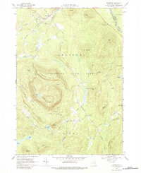
Editions of this 1968 Johnsburg Map
Other maps of this area

1895 · North Creek
USGS Topo · 1:62,500

1897 · North Creek
USGS Topo · 1:62,500

1898 · Thirteenth Lake
USGS Topo · 1:62,500

1903 · Luzerne
USGS Topo · 1:62,500

1910 · Stony Creek
USGS Topo · 1:62,500

1950 · Glens Falls
USGS Topo · 1:250,000

1950 · Utica
USGS Topo · 1:250,000

1954 · Thirteenth Lake
USGS Topo · 1:62,500

1954 · Harrisburg
USGS Topo · 1:62,500
1955 · Lake Luzerne
USGS Topo · 1:62,500