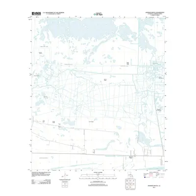
2012 Map of Johnson Bayou
USGS Topo · Published 2012About this map
Johnsons Bayou and the surrounding marshlands of Cameron Parish are defined by an intricate network of waterways and elevated ridges that supported coastal settlement and industry into the early 21st century. The landscape is a complex transition between the Gulf of Mexico and the interior, marked by the prominent Junius Ridge and Coon Ridge. These natural elevations provided critical dry ground for local infrastructure, including the settlement at Smith Ridge and several historically significant burial sites such as Smith Ridge Cem, Peveto Cem, and the Head of the Hollow Cem.
Find a feature on this map
39 named features on this map. Tap any name to fly to it.
Don’t see what you’re looking for? This feature index may not catch every label — zoom into the map to look around manually.
Map Details
Editions of this 2012 Johnson Bayou Map
This is the sole edition of this map. No revisions or reprints were ever made.
Other maps of this area

1932 · Sabine Pass NE
USGS Topo · 1:31,680

1932 · Port Arthur NE
USGS Topo · 1:31,680

1934 · Johnsons Bayou
USGS Topo · 1:24,000

1934 · Peveto Beach
USGS Topo · 1:24,000

1934 · Greens Bayou
USGS Topo · 1:24,000

1934 · Five Lakes
USGS Topo · 1:24,000

1935 · Peveto Beach
USGS Topo · 1:31,680

1935 · Five Lakes
USGS Topo · 1:31,680

1935 · Greens Bayou
USGS Topo · 1:31,680

1935 · Johnsons Bayou
USGS Topo · 1:31,680