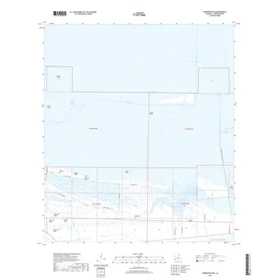
2018 Map of Johnson Bayou
USGS Topo · Published 2018About this map
Johnson Bayou PO serves as the central landmark for this coastal stretch of Cameron Parish, where the land dissolves into a complex network of marshes and ridges near the Gulf of Mexico. The geography is defined by narrow, habitable cheniers such as Smith Ridge, Junius Ridge, and Blue Buck Ridge that rise just above the wetlands. These elevations have historically dictated the placement of critical infrastructure and community sites, evidenced by the cluster of local burial grounds including Smith Ridge Cem, Pevoto Cem, and Head of the Hollow Cem.
Find a feature on this map
36 named features on this map. Tap any name to fly to it.
Don’t see what you’re looking for? This feature index may not catch every label — zoom into the map to look around manually.
Map Details
Editions of this 2018 Johnson Bayou Map
This is the sole edition of this map. No revisions or reprints were ever made.
Other maps of this area

1932 · Sabine Pass NE
USGS Topo · 1:31,680

1932 · Port Arthur NE
USGS Topo · 1:31,680

1934 · Johnsons Bayou
USGS Topo · 1:24,000

1934 · Peveto Beach
USGS Topo · 1:24,000

1934 · Greens Bayou
USGS Topo · 1:24,000

1934 · Five Lakes
USGS Topo · 1:24,000

1935 · Peveto Beach
USGS Topo · 1:31,680

1935 · Five Lakes
USGS Topo · 1:31,680

1935 · Greens Bayou
USGS Topo · 1:31,680

1935 · Johnsons Bayou
USGS Topo · 1:31,680