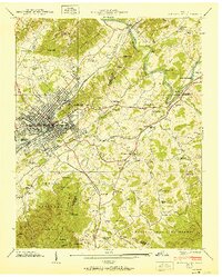
1940 Map of Johnson City
USGS Topo · Published 1951About this map
Johnson City serves as the industrial and transportation hub for this 1939 survey of Upper East Tennessee, where the intersection of the Southern, Clinchfield, and Et&WNC railroads drove regional growth. The landscape features a mix of urban development and rural mountain life, anchored by prominent institutions like the National Soldiers Home and Milligan College. Industrial activity is evident at the Tannery and along the Glanzstoff Highway, while the northeastern corner reveals the historical significance of the Watauga River at Sycamore Shoals. Beyond the city limits, the terrain rises into the Cherokee National Forest, dotted with family-named hollows and landmarks like Blowing Cave and Rock House Cave. Numerous country schools and churches, such as Sinking Creek Ch and Taylor Chapel, highlight the dispersed rural settlements of the era.
Find a feature on this map
94 named features on this map. Tap any name to fly to it.
Don’t see what you’re looking for? This feature index may not catch every label — zoom into the map to look around manually.
Map Details
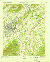
Editions of this 1940 Johnson City Map
2 editions found
Other maps of this area

1891 · Roan Mountain
USGS Topo · 1:125,000

1894 · Roan Mountain
USGS Topo · 1:125,000

1904 · Roan Mountain
USGS Topo · 1:125,000

1934 · Iron Mtn Gap
USGS Topo · 1:24,000

1935 · Watauga Valley
USGS Topo · 1:48,000

1935 · Erwin
USGS Topo · 1:24,000

1935 · Spurgeon
USGS Topo · 1:24,000

1935 · Elizabethton
USGS Topo · 1:24,000
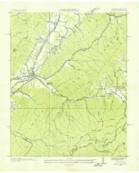
1935 · Unicoi
USGS Topo · 1:24,000
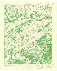
1935 · Bluff City
USGS Topo · 1:24,000