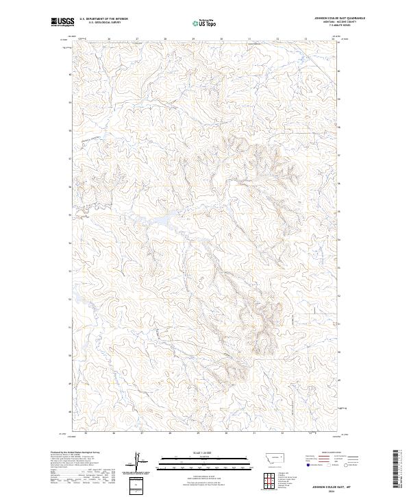
2024 Map of Johnson Coulee East
USGS Topo · Published 2024About this map
Johnson Coulee and its neighboring drainage systems define this McCone County landscape, where the high plains are carved by intermittent watercourses and coulees. The map illustrates a complex network of branching tributaries, including the winding paths of Nelson Creek and its South Fork Nelson Creek, alongside Cotter Creek and Stony Butte Creek. These geographic features suggest a terrain shaped by erosion and seasonal water flow, typical of the Montana plains.
Find a feature on this map
13 named features on this map. Tap any name to fly to it.
Don’t see what you’re looking for? This feature index may not catch every label — zoom into the map to look around manually.
Map Details
Editions of this 2024 Johnson Coulee East Map
This is the sole edition of this map. No revisions or reprints were ever made.
Other maps of this area

1954 · Jordan
USGS Topo · 1:250,000

1954 · Glendive
USGS Topo · 1:250,000

1956 · Jordan
USGS Topo · 1:250,000

1957 · Glendive
USGS Topo · 1:250,000

1958 · Jordan
USGS Topo · 1:250,000

1958 · Glendive
USGS Topo · 1:250,000

1964 · Jordan
USGS Topo · 1:250,000

1973 · Rodgers Hall
USGS Topo · 1:24,000

1978 · Fort Peck Lake East
USGS Topo · 1:100,000

1982 · Circle
USGS Topo · 1:100,000