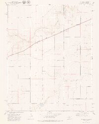
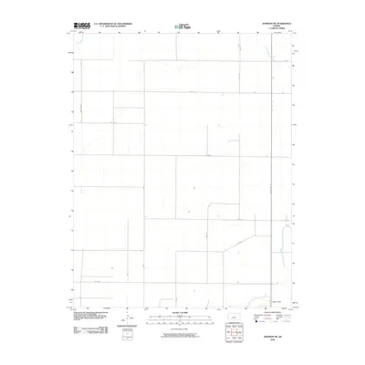
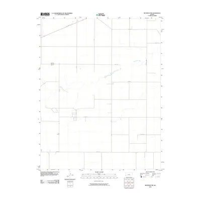
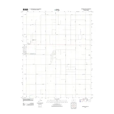
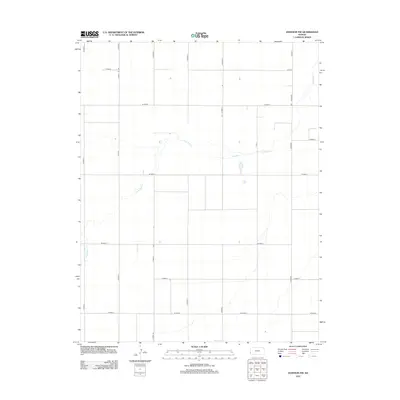
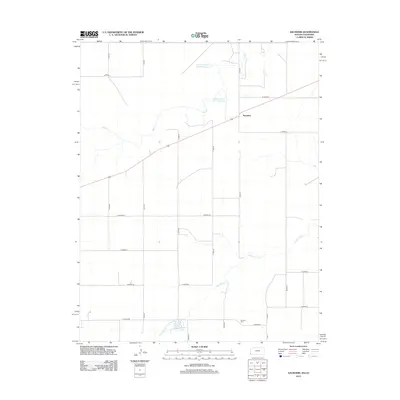
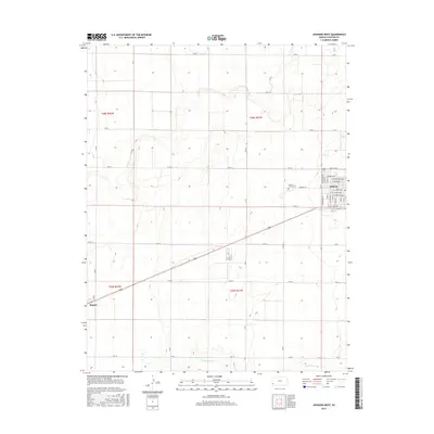
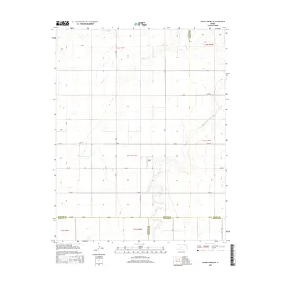
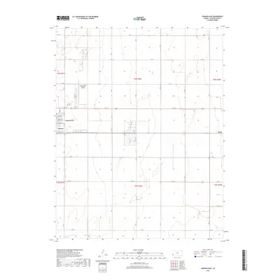
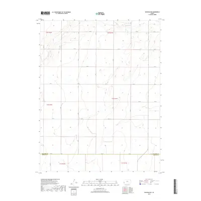
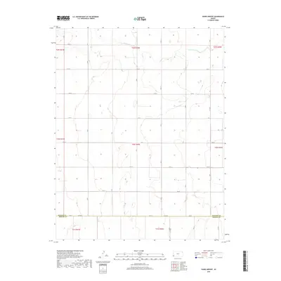
1959 Map of Johnson East
USGS Topo · Published 1978About this map
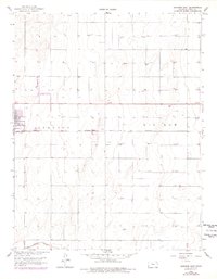
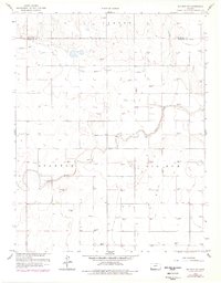
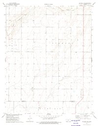
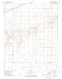
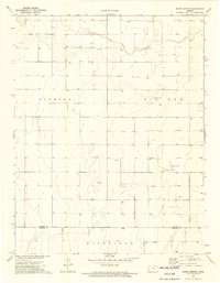
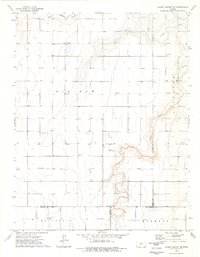
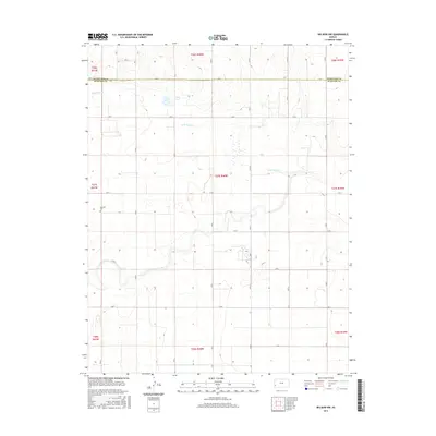
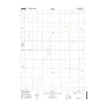
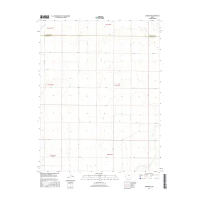
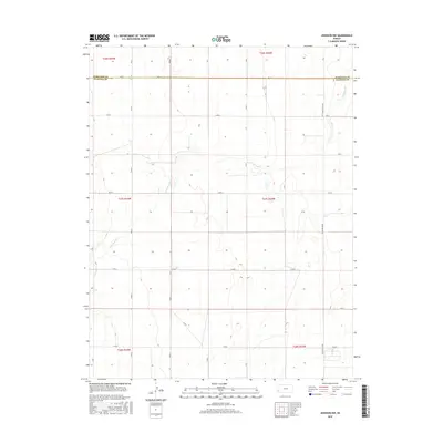
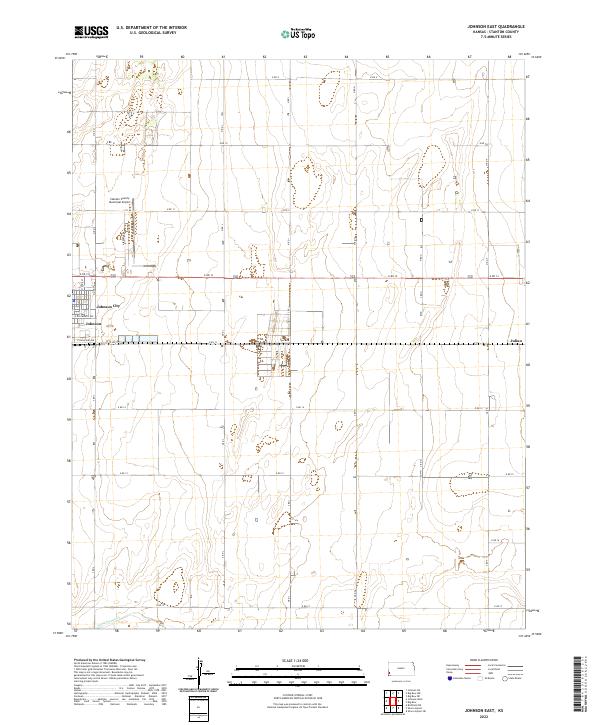
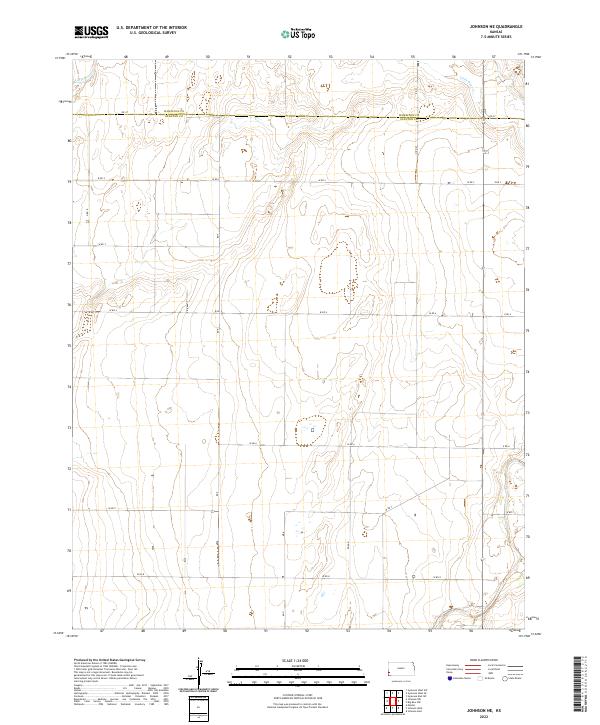
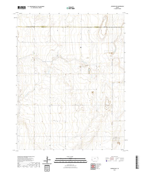
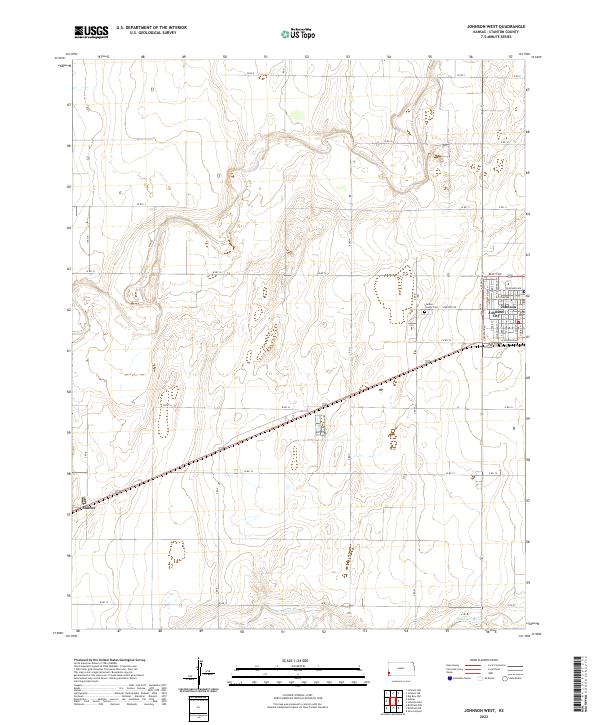
Johnson (Johnson City) serves as the primary hub in this High Plains landscape, situated along the Atchison Topeka and Santa Fe railroad line. The map illustrates a region transitioning between agricultural use and industrial energy extraction, evidenced by the high density of Gas Wells scattered across the township sections. Transportation and infrastructure are central to the area's development, with the Stanton County Municipal Airport positioned north of the city and various municipal services like the Sewage Disposal plant noted near the tracks. The terrain is characterized by the broad, natural drainage of Sand Arroyo Creek to the south and the designated area of Big Bow to the east. This survey, updated with revisions from the late 1970s, captures the grid-like precision of Western Kansas development where rail, road, and resource extraction intersect.
Find a feature on this map
9 named features on this map. Tap any name to fly to it.
Don’t see what you’re looking for? This feature index may not catch every label — zoom into the map to look around manually.
Map Details
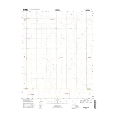
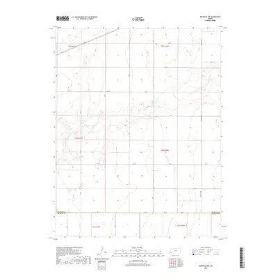
Editions of this 1959 Johnson East Map
3 editions found
Historical Maps of Julian Through Time
66 maps found
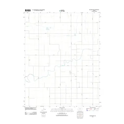
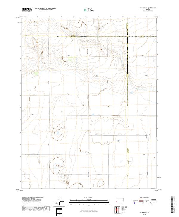
1959 Big Bow NE
Stanton County, KS
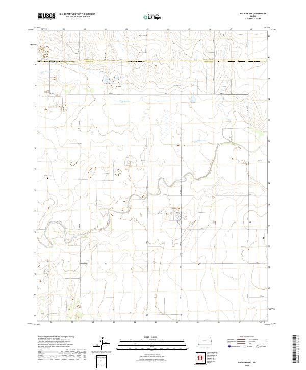
1959 Big Bow NW
Stanton County, KS
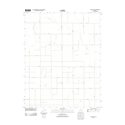
1959 Johnson East
Stanton County, KS
1973 Johnson NE
Stanton County, KS
1973 Johnson NW
Stanton County, KS
1973 Johnson West
Stanton County, KS
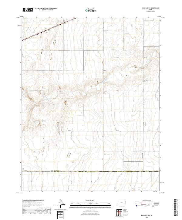
1973 Richfield NE
Stanton County, KS
1973 Richfield NW
Stanton County, KS
1973 Shore Airport
Stanton County, KS
1974 Shore Airport NE
Stanton County, KS
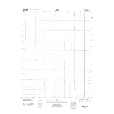
1979 Saunders
Stanton County, KS
2010 Big Bow NE
Stanton County, KS
2010 Big Bow NW
Stanton County, KS
2010 Johnson East
Stanton County, KS
2010 Johnson NE
Stanton County, KS
2010 Johnson NW
Stanton County, KS
2010 Johnson West
Stanton County, KS
2010 Richfield NE
Stanton County, KS
2010 Richfield NW
Stanton County, KS
2010 Saunders
Stanton County, KS
2010 Shore Airport NE
Stanton County, KS
2010 Shore Airport
Stanton County, KS
2012 Big Bow NE
Stanton County, KS
2012 Big Bow NW
Stanton County, KS
2012 Johnson East
Stanton County, KS
2012 Johnson NE
Stanton County, KS
2012 Johnson NW
Stanton County, KS
2012 Johnson West
Stanton County, KS
2012 Richfield NE
Stanton County, KS
2012 Richfield NW
Stanton County, KS
2012 Saunders
Stanton County, KS
2012 Shore Airport NE
Stanton County, KS
2012 Shore Airport
Stanton County, KS
2015 Big Bow NE
Stanton County, KS
2015 Big Bow NW
Stanton County, KS
2015 Johnson East
Stanton County, KS
2015 Johnson NE
Stanton County, KS
2015 Johnson NW
Stanton County, KS
2015 Johnson West
Stanton County, KS
2015 Richfield NE
Stanton County, KS
2015 Richfield NW
Stanton County, KS
2015 Saunders
Stanton County, KS
2015 Shore Airport NE
Stanton County, KS
2015 Shore Airport
Stanton County, KS
2018 Big Bow NE
Stanton County, KS
2018 Big Bow NW
Stanton County, KS
2018 Johnson East
Stanton County, KS
2018 Johnson NE
Stanton County, KS
2018 Johnson NW
Stanton County, KS
2018 Johnson West
Stanton County, KS
2018 Richfield NE
Stanton County, KS
2018 Richfield NW
Stanton County, KS
2018 Saunders
Stanton County, KS
2018 Shore Airport NE
Stanton County, KS
2018 Shore Airport
Stanton County, KS
2022 Big Bow NE
Stanton County, KS
2022 Big Bow NW
Stanton County, KS
2022 Johnson East
Stanton County, KS
2022 Johnson NE
Stanton County, KS
2022 Johnson NW
Stanton County, KS
2022 Johnson West
Stanton County, KS
2022 Richfield NE
Stanton County, KS
2022 Richfield NW
Stanton County, KS
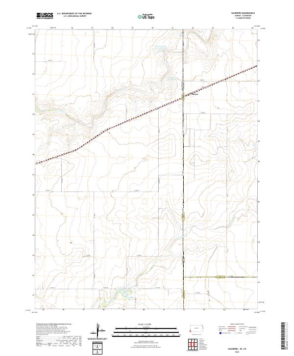
2022 Saunders
Stanton County, KS
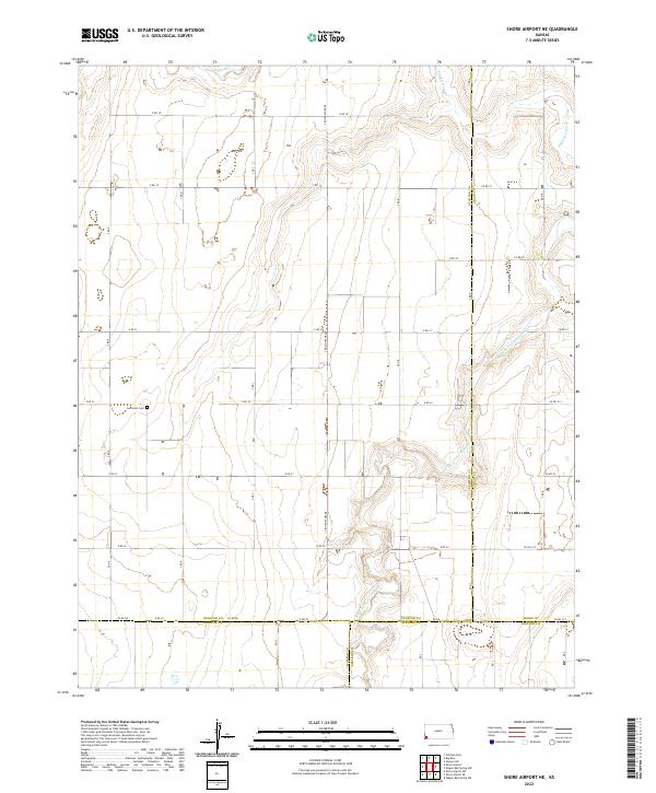
2022 Shore Airport NE
Stanton County, KS
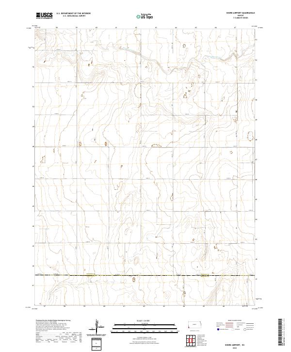
2022 Shore Airport
Stanton County, KS