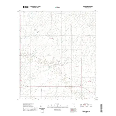
2021 Map of Johnson Hammock
USGS Topo · Published 2021About this map
Cabbage Grove and the namesake Johnson Hammock terrain feature anchor this low-lying region of Taylor County, where the landscape is defined by its intricate drainage networks and timber access roads. The Econfina River and Cabbage Creek wind through the southern half of the quadrangle, flanked by numerous unnamed wetlands and forested stands.
Find a feature on this map
24 named features on this map. Tap any name to fly to it.
Don’t see what you’re looking for? This feature index may not catch every label — zoom into the map to look around manually.
Map Details
Editions of this 2021 Johnson Hammock Map
This is the sole edition of this map. No revisions or reprints were ever made.
Other maps of this area

1952 · Secotan
USGS Topo · 1:24,000

1954 · Johnson Hammock
USGS Topo · 1:24,000

1954 · Hampton Springs
USGS Topo · 1:24,000

1954 · Secotan
USGS Topo · 1:24,000

1954 · Valdosta
USGS Topo · 1:250,000

1955 · Snipe Island
USGS Topo · 1:24,000

1955 · Shady Grove
USGS Topo · 1:24,000

1955 · Nutall Rise
USGS Topo · 1:24,000

1955 · Lamont SE
USGS Topo · 1:24,000

1955 · Manlin Hammock
USGS Topo · 1:24,000