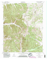
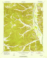
1957 Map of Johnson Hollow
USGS Topo · Published 1983About this map
Johnson Hollow carves through the landscape along the border of Stewart County, Tennessee, and Trigg County, Kentucky, during the mid-twentieth century. The area is defined by its deep drainages, including Dry Creek, Skinner Creek, and Shelby Creek, which dictate the placement of small rural communities and family landmarks. Significant portions of the eastern terrain are occupied by the Fort Campbell Military Reservation, illustrating the massive footprint of the post during the Cold War era.
Find a feature on this map
28 named features on this map. Tap any name to fly to it.
Don’t see what you’re looking for? This feature index may not catch every label — zoom into the map to look around manually.
Map Details
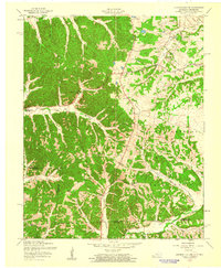
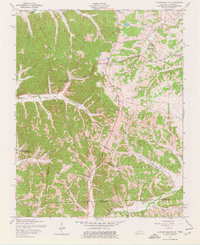
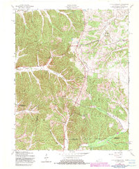
Editions of this 1957 Johnson Hollow Map
4 editions found
Other maps of this area

1936 · Tharpe
USGS Topo · 1:24,000

1950 · Caledonia
USGS Topo · 1:24,000

1951 · Caledonia
USGS Topo · 1:24,000

1951 · Model
USGS Topo · 1:24,000

1951 · Roaring Spring
USGS Topo · 1:24,000

1951 · Johnson Hollow
USGS Topo · 1:24,000
1951 · Tharpe
USGS Topo · 1:24,000

1951 · Indian Mound
USGS Topo · 1:24,000

1951 · Bumpus Mills
USGS Topo · 1:24,000

1953 · Canton
USGS Topo · 1:24,000