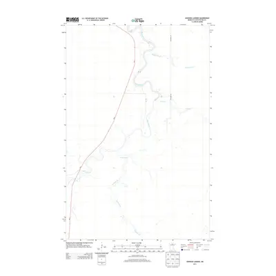
2013 Map of Johnson Landing
USGS Topo · Published 2013About this map
The Big Fork River meanders sharply through this portion of Koochiching County, defining the drainage patterns of a landscape dominated by slow-moving water and winding tributaries. Small streams such as Macafee Brook and Reilly Cr feed into the main river channel, which creates intricate loops across the terrain. The primary transportation corridor is MN-6, running north-south through the western half of the quadrangle, while Dentaybow Rd provides more localized access to the eastern wetlands. This 2013 survey illustrates a sparsely settled region of Northern Minnesota where the natural geography of Reilly Brook and the river valley remains the dominant characteristic, with little industrial or urban development interrupting the water-carved landscape.
Find a feature on this map
7 named features on this map. Tap any name to fly to it.
Don’t see what you’re looking for? This feature index may not catch every label — zoom into the map to look around manually.
Map Details
Editions of this 2013 Johnson Landing Map
This is the sole edition of this map. No revisions or reprints were ever made.
Other maps of this area

1918 · Zora
USGS Topo · 1:62,500

1919 · Zora
USGS Topo · 1:62,500

1919 · M
USGS Topo · 1:62,500

1919 · Margie
USGS Topo · 1:62,500

1954 · Hibbing
USGS Topo · 1:250,000

1954 · International Falls
USGS Topo · 1:250,000

1957 · Hibbing
USGS Topo · 1:250,000

1957 · International Falls
USGS Topo · 1:250,000

1958 · International Falls
USGS Topo · 1:250,000

1958 · Hibbing
USGS Topo · 1:250,000