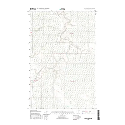
2016 Map of Johnson Landing
USGS Topo · Published 2016About this map
Johnson Landing sits along the winding course of the Big Fork River in northern Minnesota, marking a point of human presence in a landscape dominated by complex waterways. This 2016 survey highlights the intricate drainage patterns of the region, where Macaffee Brook flows from the east and the southern reaches are defined by the meandering paths of Reilly Cr and Reilly Brook. The terrain is characterized by extensive wetlands and low-lying ground typical of Koochiching County, with elevation changes subtly indicated by narrow contour intervals.
Find a feature on this map
11 named features on this map. Tap any name to fly to it.
Don’t see what you’re looking for? This feature index may not catch every label — zoom into the map to look around manually.
Map Details
Editions of this 2016 Johnson Landing Map
This is the sole edition of this map. No revisions or reprints were ever made.
Other maps of this area

1918 · Zora
USGS Topo · 1:62,500

1919 · Zora
USGS Topo · 1:62,500

1919 · M
USGS Topo · 1:62,500

1919 · Margie
USGS Topo · 1:62,500

1954 · Hibbing
USGS Topo · 1:250,000

1954 · International Falls
USGS Topo · 1:250,000

1957 · Hibbing
USGS Topo · 1:250,000

1957 · International Falls
USGS Topo · 1:250,000

1958 · International Falls
USGS Topo · 1:250,000

1958 · Hibbing
USGS Topo · 1:250,000