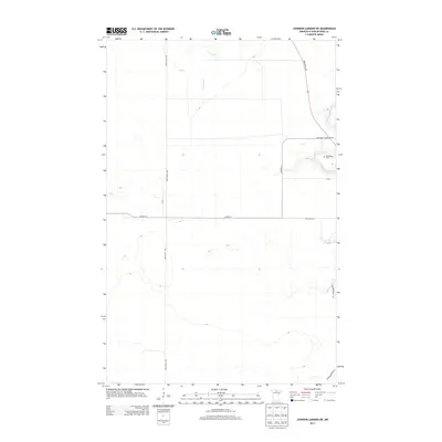
2013 Map of Johnson Landing NE
USGS Topo · Published 2013About this map
The Little Fork River and Cross River carve through this Northwoods landscape in Koochiching County, showing the intersection of heavy industry and wilderness management. Near the northeastern quadrant, the Dentaybow Lookout Tower stands as a vertical landmark above the river valley, serving as a reminder of the region's long history of fire surveillance in the timberlands. Nearby, the Dentaybow Cem provides a focal point for genealogical research in this sparsely populated area.
Find a feature on this map
12 named features on this map. Tap any name to fly to it.
Don’t see what you’re looking for? This feature index may not catch every label — zoom into the map to look around manually.
Map Details
Editions of this 2013 Johnson Landing NE Map
This is the sole edition of this map. No revisions or reprints were ever made.
Other maps of this area

1919 · Happy Land
USGS Topo · 1:62,500

1919 · M
USGS Topo · 1:62,500

1954 · International Falls
USGS Topo · 1:250,000

1957 · International Falls
USGS Topo · 1:250,000

1958 · International Falls
USGS Topo · 1:250,000

1969 · Ericsburg SW
USGS Topo · 1:24,000

1970 · Johnson Landing SE
USGS Topo · 1:24,000

1970 · Littlefork SE
USGS Topo · 1:24,000

1970 · Littlefork SW
USGS Topo · 1:24,000
1970 · Nett Lake River West
USGS Topo · 1:24,000