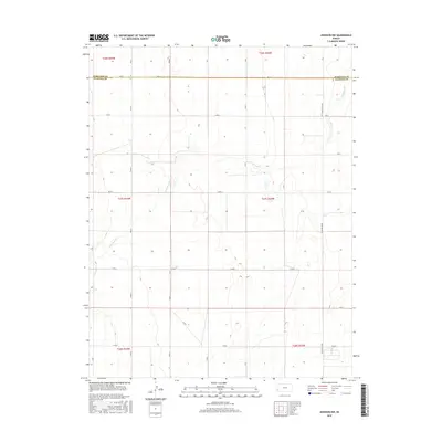
2015 Map of Johnson NW
USGS Topo · Published 2015About this map
Little Bear Cr meanders across this High Plains landscape, cutting through the section lines of the Public Land Survey System northwest of Johnson City. The 2015 topography reveals a landscape dominated by agriculture and systematic land division along the Hamilton Co and Stanton Co border. A rigid grid of rural corridors, including Road E, N Rd W, and N Rd V, facilitates access across the townships. Of particular interest to transportation historians is the N Manter Grade on the eastern edge of the sheet, indicating the localized infrastructure that supports the region's agricultural economy. This map provides a clear record of modern land use, showing the distribution of farmsteads and water sources in a sparsely populated section of Southwest Kansas.
Find a feature on this map
26 named features on this map. Tap any name to fly to it.
Don’t see what you’re looking for? This feature index may not catch every label — zoom into the map to look around manually.
Map Details
Editions of this 2015 Johnson NW Map
This is the sole edition of this map. No revisions or reprints were ever made.
Other maps of this area

1891 · Albany
USGS Topo · 1:125,000

1893 · Albany
USGS Topo · 1:125,000

1900 · Syracuse
USGS Topo · 1:125,000

1920 · Syracuse
USGS Topo · 1:125,000

1955 · La Junta
USGS Topo · 1:250,000

1955 · Dodge City
USGS Topo · 1:250,000

1958 · La Junta
USGS Topo · 1:250,000

1958 · Dodge City
USGS Topo · 1:250,000

1959 · Dodge City
USGS Topo · 1:250,000

1966 · Syracuse West SW
USGS Topo · 1:24,000