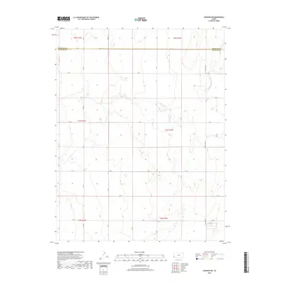
2018 Map of Johnson NW
USGS Topo · Published 2018About this map
Little Bear Cr meanders across this high plains landscape along the Hamilton Co Stanton Co border in the late twenty-tens. The terrain is defined by a rigid grid of agricultural roads, including Road E and N Rd W, which segment the vast shortgrass prairie into section blocks. This survey illustrates the modern rural infrastructure of Stanton County, highlighting the significant north-south arterial of N Manter Grade that serves the outlying ranching and farming operations. The subtle topography is marked by the winding depressions of seasonal drainages, providing a detailed look at the hydrology and land divisions typical of western Kansas during this era.
Find a feature on this map
28 named features on this map. Tap any name to fly to it.
Don’t see what you’re looking for? This feature index may not catch every label — zoom into the map to look around manually.
Map Details
Editions of this 2018 Johnson NW Map
This is the sole edition of this map. No revisions or reprints were ever made.
Other maps of this area

1891 · Albany
USGS Topo · 1:125,000

1893 · Albany
USGS Topo · 1:125,000

1900 · Syracuse
USGS Topo · 1:125,000

1920 · Syracuse
USGS Topo · 1:125,000

1955 · La Junta
USGS Topo · 1:250,000

1955 · Dodge City
USGS Topo · 1:250,000

1958 · La Junta
USGS Topo · 1:250,000

1958 · Dodge City
USGS Topo · 1:250,000

1959 · Dodge City
USGS Topo · 1:250,000

1966 · Syracuse West SW
USGS Topo · 1:24,000