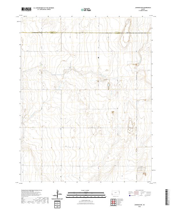
2022 Map of Johnson NW
USGS Topo · Published 2022About this map
The Hamilton Co Stanton Co line divides the northern reaches of this High Plains landscape, where the seasonal drainage of Little Bear Creek carves a subtle path through the section lines. This modern topographic view highlights the rigid efficiency of the Public Land Survey System, with township and range lines like t27s r43w and t27s r42w dictating the placement of the sparse road network. These straight-line routes, including Rd 37 and W Rd 4, primarily serve the agricultural interests of the region. The map also traces the N Manter Grade on the eastern edge, a route that hints at the historical transport corridors connecting the remote corners of Stanton County. This survey provides a precise look at the elevation and drainage patterns of the western Kansas panhandle before any significant urbanization altered its traditional rural character.
Find a feature on this map
17 named features on this map. Tap any name to fly to it.
Don’t see what you’re looking for? This feature index may not catch every label — zoom into the map to look around manually.
Map Details
Editions of this 2022 Johnson NW Map
This is the sole edition of this map. No revisions or reprints were ever made.
Other maps of this area

1891 · Albany
USGS Topo · 1:125,000

1893 · Albany
USGS Topo · 1:125,000

1900 · Syracuse
USGS Topo · 1:125,000

1920 · Syracuse
USGS Topo · 1:125,000

1955 · La Junta
USGS Topo · 1:250,000

1955 · Dodge City
USGS Topo · 1:250,000

1958 · La Junta
USGS Topo · 1:250,000

1958 · Dodge City
USGS Topo · 1:250,000

1959 · Dodge City
USGS Topo · 1:250,000

1966 · Syracuse West SW
USGS Topo · 1:24,000