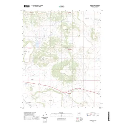
2023 Map of Johnson Park
USGS Topo · Published 2023About this map
Johnson Mesa dominates the northeastern corner of this landscape, a prominent high-plateau feature characteristic of the Colfax County topography. The terrain is defined by a series of distinct basalt-capped tables, including Wilson Mesa, Flatiron Mesa, and Juan Torres Mesa, which separate deep drainages such as Taylor Canyon and Dry Canyon. This modern survey illustrates how water management and natural hydrology interact on the high plains, centered on the Throttle Reservoir and the winding course of Una de Gato Creek. In the southern reaches, the land drops toward the drainage of Little Water Creek and Green Mountain Arroyo, where Troyburg Mesa and the Haycock Buttes stand as isolated landmarks. The map records a sparsely settled ranching region where county roads like Co RD A-40 and Co RD A-29 provide the primary access through the broken rimrock and expansive parklands like Johnson Park.
Find a feature on this map
33 named features on this map. Tap any name to fly to it.
Don’t see what you’re looking for? This feature index may not catch every label — zoom into the map to look around manually.
Map Details
Editions of this 2023 Johnson Park Map
This is the sole edition of this map. No revisions or reprints were ever made.
Other maps of this area

1912 · Raton
USGS Topo · 1:62,500

1914 · Raton
USGS Topo · 1:62,500

1954 · Raton
USGS Topo · 1:250,000

1958 · Raton
USGS Topo · 1:250,000
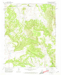
1971 · Trinchera Pass
USGS Topo · 1:24,000

1971 · Kiowa
USGS Topo · 1:24,000
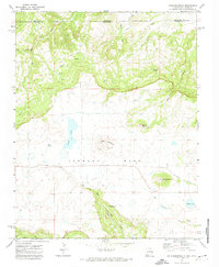
1971 · Dale Mountain
USGS Topo · 1:24,000
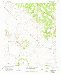
1971 · Hunter Mesa
USGS Topo · 1:24,000

1971 · Robinson Peak
USGS Topo · 1:24,000

1971 · Johnson Park
USGS Topo · 1:24,000