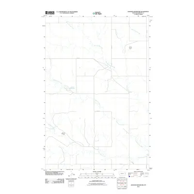
2011 Map of Johnson Reservoir
USGS Topo · Published 2011About this map
The North Fork Deer Creek, Middle Fork Deer Creek, and South Fork Deer Creek converge across this Dawson County landscape, creating a drainage system that defines the local topography. This 2011 survey illustrates the management of these waterways through infrastructure like the Johnson Reservoir Dam, which contains the Johnson Reservoir. Farther north, the Tillman Number 1 Dam sits along a tributary of Lower Sevenmile Creek. The area is interlaced with a rural grid of numbered thoroughfares, including Road 442 and Road 435, which serve the expansive ranching and agricultural lands of eastern Montana. The map provides a clear look at the intersection of natural hydrology and small-scale water storage projects in this part of the Great Plains.
Find a feature on this map
13 named features on this map. Tap any name to fly to it.
Don’t see what you’re looking for? This feature index may not catch every label — zoom into the map to look around manually.
Map Details
Editions of this 2011 Johnson Reservoir Map
This is the sole edition of this map. No revisions or reprints were ever made.
Other maps of this area

1909 · Glendive
USGS Topo · 1:250,000

1954 · Glendive
USGS Topo · 1:250,000

1957 · Glendive
USGS Topo · 1:250,000

1958 · Glendive
USGS Topo · 1:250,000

1972 · Poverty Flat West
USGS Topo · 1:24,000

1972 · Bloomfield
USGS Topo · 1:24,000

1972 · Stinking Coulee
USGS Topo · 1:24,000

1981 · Glendive
USGS Topo · 1:100,000

1982 · Circle
USGS Topo · 1:100,000

1983 · Johnson Reservoir NW
USGS Topo · 1:24,000