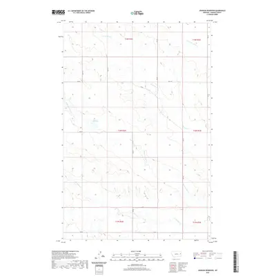
2020 Map of Johnson Reservoir
USGS Topo · Published 2020About this map
Johnson Reservoir serves as a central landmark in this portion of Dawson County, where the topography is defined by the branching drainage systems of Deer Creek. The landscape is carved by the N Fork Deer Cr, Middle Fork Deer Cr, and S Fork Deer Cr, illustrating the intricate hydrologic network of eastern Montana. In the northeast corner, the drainage of Lower Sevenmile Cr further shapes the terrain. A sparse network of county roads, including RD 435 and RD 448, provides the primary access through this rural ranching and agricultural region. The map reflects a modern survey of the public land system, detailing the section lines and township boundaries of T19N, T18N, and T17N across Ranges 52E and 53E.
Find a feature on this map
16 named features on this map. Tap any name to fly to it.
Don’t see what you’re looking for? This feature index may not catch every label — zoom into the map to look around manually.
Map Details
Editions of this 2020 Johnson Reservoir Map
This is the sole edition of this map. No revisions or reprints were ever made.
Other maps of this area

1909 · Glendive
USGS Topo · 1:250,000

1954 · Glendive
USGS Topo · 1:250,000

1957 · Glendive
USGS Topo · 1:250,000

1958 · Glendive
USGS Topo · 1:250,000

1972 · Poverty Flat West
USGS Topo · 1:24,000

1972 · Bloomfield
USGS Topo · 1:24,000

1972 · Stinking Coulee
USGS Topo · 1:24,000

1981 · Glendive
USGS Topo · 1:100,000

1982 · Circle
USGS Topo · 1:100,000

1983 · Johnson Reservoir NW
USGS Topo · 1:24,000