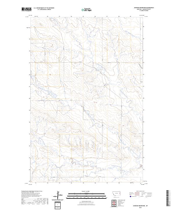
2024 Map of Johnson Reservoir
USGS Topo · Published 2024About this map
The hydrological network of the North Fork Deer Creek, Middle Fork Deer Creek, and South Fork Deer Creek dominates this section of Dawson County. These drainage systems carve through the landscape, creating a series of complex coulees and ridges typical of the eastern Montana plains. The terrain is marked by the sharp descent into Stinking Coulee in the northeast, while the broader drainage of Lower Sevenmile Creek touches the northern edge of the survey area.
Find a feature on this map
19 named features on this map. Tap any name to fly to it.
Don’t see what you’re looking for? This feature index may not catch every label — zoom into the map to look around manually.
Map Details
Editions of this 2024 Johnson Reservoir Map
This is the sole edition of this map. No revisions or reprints were ever made.
Other maps of this area

1909 · Glendive
USGS Topo · 1:250,000

1954 · Glendive
USGS Topo · 1:250,000

1957 · Glendive
USGS Topo · 1:250,000

1958 · Glendive
USGS Topo · 1:250,000

1972 · Poverty Flat West
USGS Topo · 1:24,000

1972 · Bloomfield
USGS Topo · 1:24,000

1972 · Stinking Coulee
USGS Topo · 1:24,000

1981 · Glendive
USGS Topo · 1:100,000

1982 · Circle
USGS Topo · 1:100,000

1983 · Johnson Reservoir NW
USGS Topo · 1:24,000