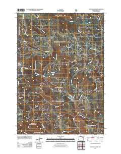
2011 Map of Johnson Saddle
USGS Topo · Published 2011About this map
Johnson Saddle sits at the heart of this drainage-rich landscape in Grant County, where the headwaters of numerous creeks diverge across the high country. The area is defined by its seasonal camps and water sources, including the high-elevation Keeney Meadows and several vital springs such as Shrier Spring and Raddue Spring. A network of Forest Service roads provides access to isolated outposts like Fox Camp and the recreational grounds at Beech Creek Forest Camp and Cottonwood Camp. The terrain transitions from the marshy Tamarack Swamp in the west toward the prominent Beech Creek Summit. For researchers, the map details the intricate hydrography of the region, from the winding path of Beech Creek to the smaller tributaries of Little Bear Creek and Forty Day Creek, illustrating how the land was managed for transit and timber in the early 21st century near Mountain Rest.
Find a feature on this map
32 named features on this map. Tap any name to fly to it.
Don’t see what you’re looking for? This feature index may not catch every label — zoom into the map to look around manually.
Map Details
Editions of this 2011 Johnson Saddle Map
This is the sole edition of this map. No revisions or reprints were ever made.
Other maps of this area

1940 · Mount Vernon
USGS Topo · 1:62,500

1940 · John Day
USGS Topo · 1:62,500

1943 · John Day
USGS Topo · 1:62,500

1943 · Mount Vernon
USGS Topo · 1:62,500

1949 · Long Creek
USGS Topo · 1:62,500

1949 · Susanville
USGS Topo · 1:62,500

1951 · Susanville
USGS Topo · 1:62,500

1951 · Long Creek
USGS Topo · 1:62,500

1955 · Canyon City
USGS Topo · 1:250,000

1959 · Canyon City
USGS Topo · 1:250,000